
Magnitude 7.2 earthquake strikes near NZ
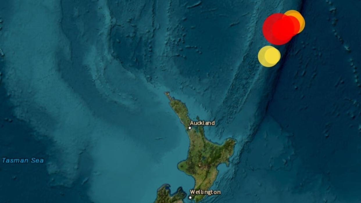
Three earthquakes, one at a magnitude 7.2, have occurred in the seas off New Zealand’s North Island.
Geoscience Australia reports the first, and most powerful, happened at a depth of 78km at 12.42pm local time (10.42am AEST) on Monday in the Kermadec Islands region.
The second, a less powerful 5.3 magnitude tremor, was recorded at a depth of 99km soon after the first at 1.05pm.
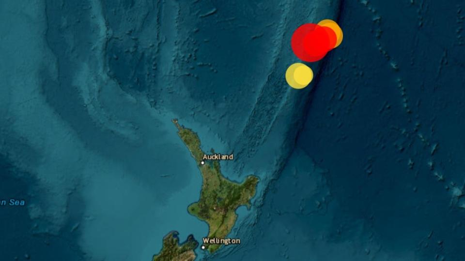
Almost an hour later at 1.51pm a magnitude 5.2 quake rocked the region at a very shallow 10km.
Fortunately, New Zealand’s National Emergency Management Agency (NEMA) said there was no tsunami threat following the quakes.
There is no tsunami threat to New Zealand following the M7.1 Kermadec Islands earthquake. Based on current information, the initial assessment is that the earthquake is unlikely to have caused a tsunami that will pose a threat to New Zealand.
— National Emergency Management Agency (@NZcivildefence) April 24, 2023
“Based on current information, the initial assessment is that the earthquake is unlikely to have caused a tsunami that will pose a threat to New Zealand,” said NEMA on its official channels.
Australia’s Bureau of Meteorology also confirmed there was no tsunami threat to Australia.
A massive 8.1 quake struck in the same region in March 2021, prompting tsunami evacuations for those on the coast of the North Island.

