
'Stay indoors': Warning as storms approach South Australia, Victoria

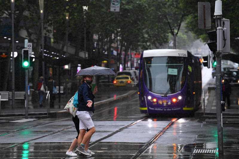
It’s time to break out the umbrellas again with South Australia and Victoria set for wet weather.
A cold front is on its way to South Australia, bringing showers and thunderstorms on Tuesday afternoon.
Bureau of Meteorology meteorologist Jonathan Gow said the front is travelling from the southern corner of WA and will also bring damaging winds of up to 90km/h.
It’s already kicking up dust from WA through to the Bight.
Temperatures will climb into the high 30s in Adelaide, Mr Gow said.
Some parts of Adelaide and Mount Lofty Ranges reached above 30 degrees just after midday.
BOM have issued a severe weather warning for Port Lincoln, Whyalla, Ceduna, Maitland, Wudinna, Cleve and Woomera. Winds could reach up to 100km/h.
People are being encouraged to stay indoors and move vehicles away from trees.
The CBD is forecast to receive about 2mm of rain on Wednesday and Thursday. Mount Gambier in the state’s southwest could cop more of the brunt though with up to 15mm on Wednesday as the front moves west.
“Thunderstorm activity will become extensive – reaching into northwest Victoria and are likely to become severe in some parts with damaging winds the main concern,” Mr Gow said.
“Wednesday will be the peak thunderstorm day across Victoria after a very warm night and these could produce heavy rainfall and damaging winds.”
Severe Weather Update: heat, elevated fire dangers and thunderstorms for southern Australia. Video current at 12.00pm AWST, Monday 9 November 2020.
For the latest forecasts and warnings: https://t.co/1AroIB24de pic.twitter.com/5Hc4kj4X6r— Bureau of Meteorology, Australia (@BOM_au) November 9, 2020
Mr Gow said Melbourne will experience storms on Wednesday night “after a windy day”.
Melbourne could receive up to 8mm of rain on Wednesday, but further south is due for heavier showers with Phillip Island, Rhyall and Cerberus possibly getting up to 10mm.
A severe weather warning has been issued for North Central and parts of Central, South West and Wimmera Forecast Districts for damaging winds.
Mr Gow added it will be hot in Hobart with late showers on Wednesday.
Hobart could reach a top of 30C and 2mm on Wednesday before it cools down to a max of 24 with 2-5mm on Thursday.
Thursday will also see the storm activity will move into the eastern parts of NSW and the ACT.
At this stage, the ACT and NSW could only receive about 2-3mm from Thursday through to the weekend.
Do you have a story tip? Email: newsroomau@yahoonews.com.
You can also follow us on Facebook, Instagram and Twitter and download the Yahoo News app from the App Store or Google Play.


