
Aussies brace for drenching after July deluge

Australia’s east coast and South Australia is due for a wetter than average next few weeks following a drenching to start the final week of July.
Some parts of NSW’s South Coast recorded as much as 150mm of rainfall on Monday while some coastal areas had their heaviest July rainfall in more than half a decade.
It prompted some residents to call conditions “insane”.
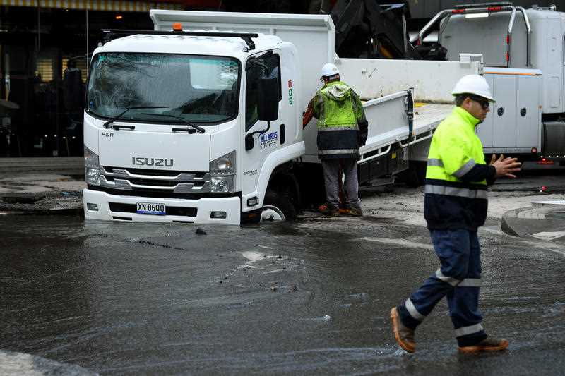
Parts of Sussex Inlet also had to be evacuated in the deluge and a sinkhole formed in Sydney’s suburb of Double Bay on Tuesday following torrential rain.
Bureau of Meteorology's senior climatologist Felicity Gamble said rainfall throughout July was caused by two deep lows.

And it is likely to flow into August, with the first week of the month likely to exceed median rainfall in most of Queensland.
Ms Gamble said this was due to the Southern Annular Mode (SAM) – a climate driver that can influence rainfall and temperature in Australia.
“SAM may influence rain in August, shifting weather systems southwards,” she said.
“As a result, Australian rainfall is likely to be above average across much of southern Australia but below average in southwest Western Australia and northwestern Tasmania that may see fewer fronts than usual for this time of year.”
While the rain might not be welcomed by everyone, the temperature is likely to be above average for the start of August at least.
BOM is yet to forecast its rain totals for next week but areas affected by SAM include much of North Queensland’s coastline south to Brisbane.
NSW is less impacted, with the likelihood of lower than average rainfall – but affected areas could include Northern NSW, Sydney’s west and parts of the south coast.
Melbourne and Adelaide aren’t expected to receive anything out of the norm but northern parts of South Australia should receive more showers.
Much of Western Australia’s south won’t be affected but areas including Broome and Wyndham in the north will be impacted by SAM.
The Northern Territory, south of Darwin, will also receive more rain.
Areas along the west coast of Tasmania are 30 to 40 per cent likely to receive more rain than the norm.
With a shift towards La Niña-like patterns expected in Spring, the August to October #BOMOutlook suggests above average rainfall across much of eastern Australia.
It's also looking warmer than average particularly across the north and southeast https://t.co/aanDpjMQN1 pic.twitter.com/H4voYm4mBf— Bureau of Meteorology, Australia (@BOM_au) July 30, 2020
Ms Gamble the recent rainfall has come as good news for some water storages in NSW.
Murray-Darling Basin North is at 18 per cent capacity currently, compared to seven per cent 12 months ago.
The southern basin is at 53 per cent – up seven per cent from this time last year.
She added levels in the northern basin are “continuing to rise”.
However, storages in Tasmania and southwest WA are below where they were at this time in 2019.
Do you have a story tip? Email: newsroomau@yahoonews.com.
You can also follow us on Facebook, Instagram and Twitter and download the Yahoo News app from the App Store or Google Play.


