
Cold snap hits Australia's southeast – but when will it end?
The cold snap hitting most of Australia is expected to hang around until later this week with low temperatures, gusty winds and snow in alpine areas forecast for the southeast.
Strong wind warnings have been issued for parts of Victoria, NSW and Queensland.
Sydney can expect a windy and rainy day on Tuesday and a top temperature of 17 degrees. Melbourne will be mainly sunny with a maximum of 15, Adelaide is forecast to reach 14 and Hobart just 12.
Cold conditions swept across the southeast on the weekend as a polar air mass brought strong winds, torrential rain and up to a metre of snow in alpine regions.
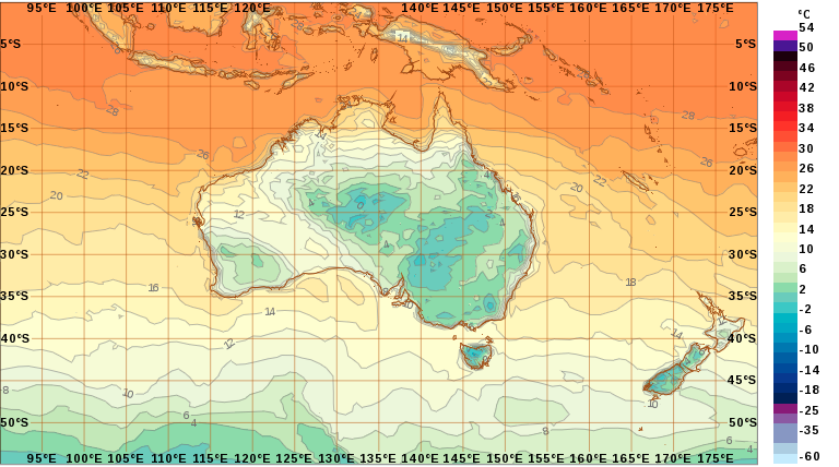
The cold snap was caused by a deep low pressure system just to the south of Tasmania, pushing up cold weather.
The Gold Coast woke to its coldest June morning with just 0.6 recorded at Coolangatta just before 5am on Monday.
In Bathurst in NSW’s Central West, temperatures reached just 5.4 degrees on Sunday, making it the second coldest day in the last 10 years.
A blanket of snow @_hotham morning, with around 25cm falling overnight! A further 25-50cm expected over the next 3 days across #Alpine areas #Victoria #snowing #blizzard #coldsnap 📷@hockster111 https://t.co/xasmvV8ITh pic.twitter.com/UdMeEczYiY
— Bureau of Meteorology, Victoria (@BOM_Vic) June 14, 2018
“Because we had so much wind it felt quite a bit colder than the recorded temperatures,” NSW Bureau of Meteorology duty forecaster Simon Louis said.
“The burst of cold over the weekend was caused by a sequence of cold fronts which are not particularly unusual for this time of year.”
For NSW on Tuesday a hazardous surf warning is in place for the Hunter, Sydney, Illawarra, Batemans and Eden coasts.
Winds on average of 60 to 65km/h are predicted, with peak gusts hitting up to 90km/h in parts of NSW.
Mr Louis said there would also be an increase in rainfall on Monday and Tuesday, particularly in coastal areas.
“That combined with winds means today and tomorrow will still continue to feel fairly cold,” he said on Monday.
“We’ll see a bit of improvement later in the week as showers mostly clear up and winds ease, we’ll be left with quite nice days later in the week. Air temperatures will still be cool, it is still June, but there will be a bit of sunshine.”
Mr Louis said this week would bring some of the highest tides of the year in NSW coastal areas and southerly winds could create four-metre waves on Monday night.
Perth and Darwin have managed to avoid the cold front, with maximums in the Northern Territory still reaching 32 and maximums in Perth reaching 20.
Brisbane’s maximum temperatures will be also in the low 20s and Adelaide won’t hit a maximum temperature above 16 all week.

