
Heatwave conditions ahead for Queensland as NSW chills

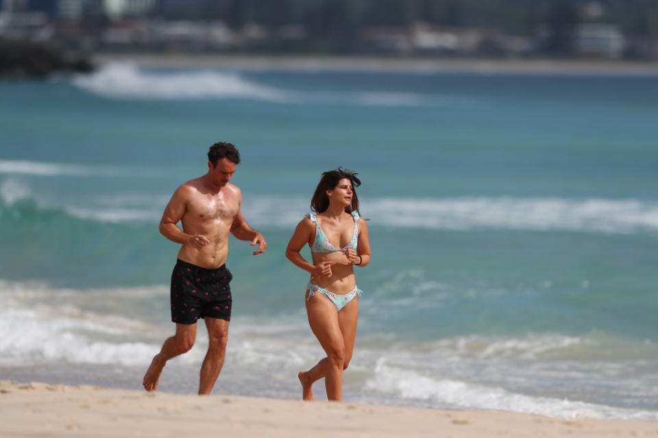
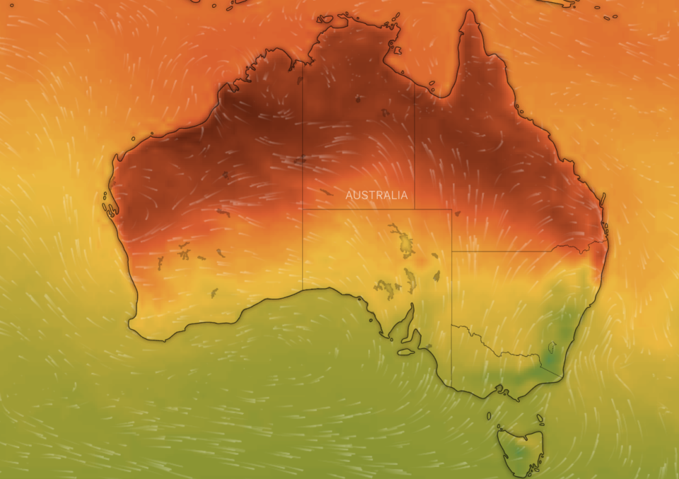
Queensland is set for hot weather over the coming days with temperatures in some areas up to eight degrees higher than the average while NSW prepares to cool down.
Weatherzone meteorologist Esteban Abellan told Yahoo News Australia some areas across the sunshine state could be up to nine degrees above average for this time of the year.
“It’s a very extensive trough travelling from WA to Queensland bringing northerly and westerly winds,” Mr Abellan said.
“We will see temperatures well above average. In Ipswich it will be 38 degrees tomorrow (Thursday), which is eight above average.
“Gatton will be 38 – eight above average, Roma 39 – seven above average.”
He added areas along the Queensland coast will be “unusually warm” with Brisbane reaching a toasty 33.
The heat won’t last too long though. Most of Queensland will cool down by two to five degrees on Friday.
Brisbane will cool down to 29 on Friday before it reaches about 25-26 on the weekend.
'Sorry': Heroic firefighter's 'touching' note after saving home
Amazing video shows truck blown over by strong winds, crushing ute
That’s after a weekend where the sunshine state was battered by wild storms and enormous hail.
Mr Abellan added it’s not exactly unseasonable weather but an example of a typical trough.
It’s a different scenario for people in Far North Queensland though who are experiencing a heatwave.
Weipa is forecast to reach 38 on Thursday before six days where the temperature will reach a max of 37 or higher. Aurukun, further south, can expect the same.
Northern parts of WA, including Broome, and the Northern Territory, including Darwin and surrounds, are also caught up in the sweltering heatwave.
Darwin is forecast for seven consecutive days of temperatures topping 35 or higher. Broome is expected to top 43 on Thursday followed by five days of 36 or higher.
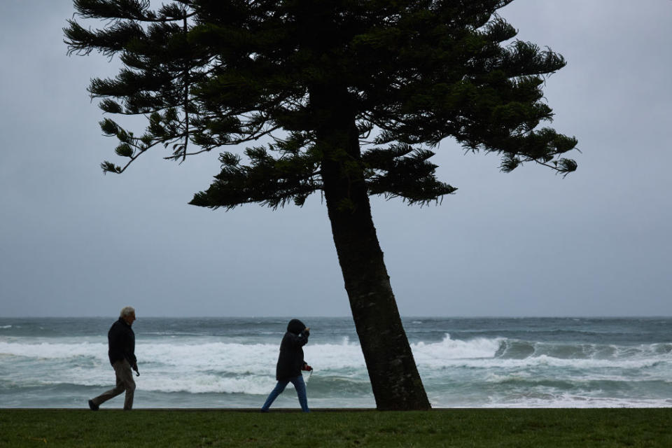
NSW in for ‘significant wind chill’
Not everyone will be experiencing searing heat though.
The trough will carry a cold front with it which will impact on NSW and Victoria.
“We’re expecting cooler conditions in the wake of this front,” Mr Abellan said.
Mr Abellen said Sydney can expect “significant wind chill” on Thursday.
If you live in Northern Australia, make sure your fans and air conditioners are ready to go as it's going to be hot 🥵 for much of the week with Severe to Extreme heatwave conditions.
Latest forecasts and warnings: https://t.co/etFmq2pFZE pic.twitter.com/Qgsp4Qyojw— Bureau of Meteorology, Australia (@BOM_au) November 2, 2020
According to the Bureau of Meteorology, Sydney is forecast to reach a top of just 18 on Thursday.
That’s after a top of 26 on Wednesday and the cold front will also bring showers.
Sydney could receive up to 20mm on Thursday before conditions ease ahead of the weekend.
Parts of the south coast including the Illawarra Region can expect similar conditions too.
Parts of Victoria, including Melbourne, will also experience a temperature drop of about eight degrees from Wednesday through to Thursday too.
Melbourne reached a top of 23 Wednesday and is forecast to hit a top of 15 on Thursday with some morning showers.
The state, however, won’t see as heavy showers as NSW will.
Do you have a story tip? Email: newsroomau@yahoonews.com.
You can also follow us on Facebook, Instagram and Twitter and download the Yahoo News app from the App Store or Google Play.

