
Warning as rain, strong winds to smash Aus
Millions of Australians are being warned to brace for another wet and wild weekend after Sydney was smashed by almost twice its average June rainfall in just two weeks.
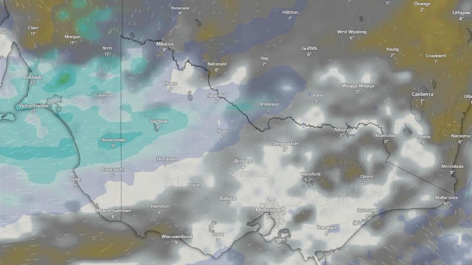
The Harbour City reported a whopping 212mm of rain until Friday – against a June monthly average of 132mm – with more forecast for the forthcoming weekend.
The Bureau of Meteorology forecast a high chance of up 15mm to fall on Saturday before dissipating on Sunday, with blistering winds of up to 25km.
Sky News Meteorolgist Rob Sharpe said the wet weather misery had only just begun for Sydney.
“The first showers have started grazing coastal parts of Sydney and it’s just begun, there’s going to be a fair bit more of that with those showers slowly creeping further inland,” he said.
Rain was forecast for thousands more across the southeast over the weekend, with up to 5mm forecast in Hobart on Sunday.
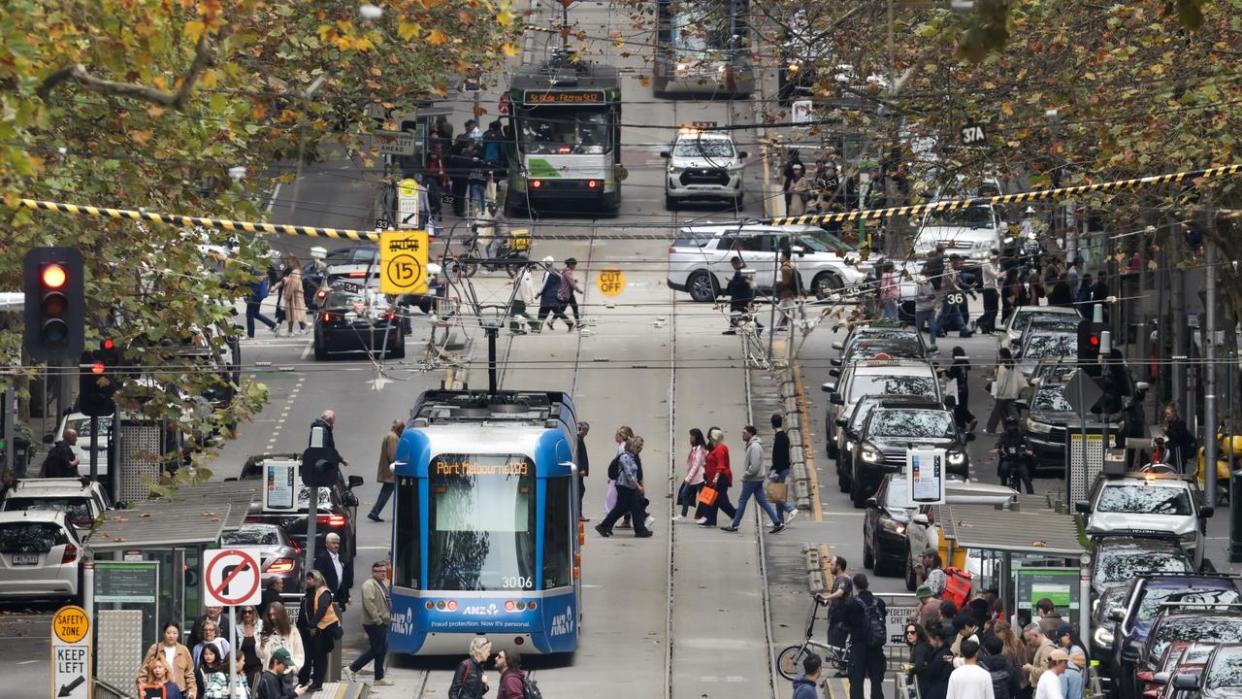
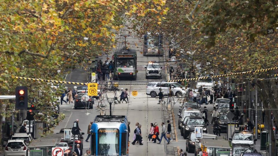
It comes after Melbourne was set to shiver through its coldest day in five years on Thursday, with the city blasted by a cold snap.
The city hit only 13 degrees on Friday, with only a slight bump in the mercury expected for the weekend.
Temperatures on Saturday are forecast to reach a low of 7C and a high of 15C. A range of 5C to 14C is predicted for Sunday, with a slight chance of a shower in the northwest suburbs.
Mr Sharpe attributed the frosty temperatures to a “north west cloud band that’s crossing the country that’s linked with a cut off low”.
“It’s gone up and across South Australia and the cloud associated with the two systems has led to a gloomy day in Melbourne,” Mr Sharpe told NewsWire on Friday.
“A bit extra drizzle and all that cloud cover kept a lid on those temperatures yesterday, which mean Melbourne really struggled to warm up.”
Morning showers are forecast in Sydney for Saturday, especially on Sydney’s coast, with a temperature range between 11C to 17, however the rain should ease by Sunday.
The cold front brings decent snowfalls for the Alpine resorts after a less-than favourable climatic opening to ski season, with the Bureau of Meteorology predicting 5 to 20 cm.
This week’s powerful cold front follows a week of heavy rainfall in south west Western Australia and south east NSW.
Canberra, meanwhile, is predicted to dip into negative digits on Sunday morning with a frosty forecast of -1C, rising to just 13C over the weekend.
Those conditions were expected to continue into next week when the nation’s capital is forecast to see minimums as low as -3C until Tuesday.
Largely set to escape rain and frost, Brisbane was forecast to reach a high of 23C over the weekend with sunny conditions and light winds.
Elsewhere, Hobart was forecast to dip as low as 6C over the weekend and not higher than 12C, with a high chance of up to 7mm of rain, specifically on Sunday afternoon.
Adelaide was also forecast for a drenching with an 100 per cent chance of up to 8mm on Friday, before dipping to 2mm on Saturday.

Not escaping the rain, Perth was warned to brace for a very high chance of rain on Saturday with as much as 7mm on Sunday.
Weekly rainfall totals exceeded 100mm and there were isolated totals of more than 200mm in NSW’s Illawarra district, while parts of the Central West and Gascoyne districts in Western Australia recorded weekly totals of more than 100mm.
Rough start to snow season continues
The weather comes after a rocky start for the country’s snow resorts in NSW and Victoria following the commencement of the ski season last week.
BOM predicted only a dusting of snow no lower than 1100m across the NSW Snowy Mountains throughout the weekend, with possible showers.
Across the border, a “medium chance of snow flurries” was forecast for Mount Hotham resort area on Saturday; possible snow shower Sunday.
While Perisher reported a fresh dusting of snow on Thursday, most resorts were pushing their snow making ahead of the weekend.
Hotham Alpine Resort wrote on Thursday afternoon: “shout out to our snow-making team, firing guns around the clock. Keep it going”.

