
‘Arctic’ warning for millions of Aussies

Millions of Aussies are set to shiver through another arctic week as a cold mass positions itself over much of the country.
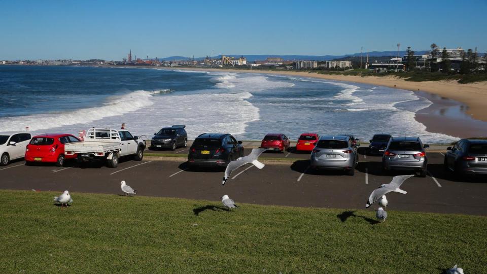
Colder and drier air is expected to spread across much of Australia this week, with both maximum and minimum temperatures forecast to fall “well below average”.
The Bureau of Meteorology is anticipating widespread morning fog and possible severe frost for southeastern states.
Temperatures across southeastern Australia are expected to drop 2-6C below average.
Colder, drier air will spread across much of Australia this week, with both max. & min. temps forecast to be well below average
Widespread morning fog and frost is likely across the south-eastern states. Severe frost is possible.
Latest: https://t.co/4W35o8i7wJpic.twitter.com/SQbWQXwx6g— Bureau of Meteorology, Australia (@BOM_au) June 30, 2024
Meanwhile parts of the Northern Territory, South Australia and Western Australia will see drops of 6-10C below average.
High pressure crossing the Great Australian Bight is to blame for the chilly mornings to come, with the system expected to stall as it becomes a “blocking high” over Tasmania from Tuesday morning.
Large parts of Victoria and southern NSW, as well as most of Tasmania, will experience sunny days but frosty nights as the high pressure system is set to bring clear skies and light winds.
The large, slow-moving system is set to bring a prolonged period of frosty nights and cold days with widespread morning fog to parts of Victoria and southern NSW.
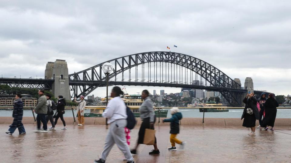
Sydney is expected to see rain for most of the week, with the heavest falls predicted for Tuesday with highs of 15mm.
Between 7mm to 9mm of rain is expected for the remainder of the week.
Melbourne will see a cold and dry week, with partly cloudy days and maximum temperatures of up to 14C.
Launceston is forecast to plunge to below zero degrees for the next seven to eight mornings in a row.
Persistent south-easterly winds are expected to hit the coasts of Queensland and northern NSW, with the high pressure system to bring an increased chance of showers each day.
Brisbane will see a wet start to the week, with up to 20mm of rain forecast for Tuesday and 10mm on Wednesday before the rain eases into the weekend.
Parts of South Australia and Western Australia will experience longer-lasting rain than normal, as cold fronts cross those areas throughout the week.
In northern Australia, the high located in the south will increase winds and lead to warmer days.
The increased winds will also increase the fire danger amid the start of the northern Australia bushfire season.

