
200mm in 24hrs: Rain deluge to continue
The Bureau of Meteorology has issued a raft of weather warnings for Saturday night and Sunday, as areas in NSW’s south coast and Illawarra could be smashed with 24-hour totals of up to 200mm.
It’s forecast the south coast and Illawarra will continue to be battered by heavy rainfall overnight and into Sunday, triggering the risk of flash flooding.
A coastal low may bring six-hour totals of 60mm to 70mm, with even isolated bursts of 100 to 120mm possible.
24-hour totals could reach 140 to 160mm, with drenchings of 200mm possible over the ranges.
https://twitter.com/BOM_NSW/status/1789187133376258339
Minor to moderal flood warnings have also been issued for communities across the Moruya and Deua Rivers catchment on NSW’s south coast.
The Deua River at Wamban is likely to exceed 4.4m on Saturday night, with water levels reaching 6.2m, the moderate flood level, from early Sunday.
The Moruya River at Moruya Bridge may also reach 2m by Sunday morning, triggering minor flooding.
A possible thunderstorm alert will remain in place throughout Sunday, across the northeast NSW, and potentially Sydney, before conditions are expected to improve from Monday.
https://twitter.com/BOM_NSW/status/1789188866290626783
Warragamba dam to flood
Emergency services have warned a major dam in Sydney’s outer south west will likely begin spilling on Saturday evening, as the state is lashed with heavy rain.
At about 1.30pm, Water NSW said Warragamba Dam – which has a capacity of 2065 gigalitres – was “close to full capacity”, and would likely spill over within hours.
Most recent modelling suggests the dam could reach a spill rate of about 40GL per day, if the catch receives the forecast amount of 35mm of rain over the weekend.
WaterNSW said this would be less than the spill peak from April, which exceeded 200GL a day.
A number of other dams across Greater Sydney are also likely to spill, including Cataract, Nepean, Woronora, Tallowa, Greaves Creek, Medlow Bath, and Middle Cascades.

Parts of the NSW south coast have been issued with severe weather warnings as 70 to 200mm of rain could fall.
Surf conditions will also be severe, the bureau forecasts. Hazardous surf warnings are in place for the Macquarie, Hunter, Sydney and Illawarra coasts Saturday, and Hunter and Sydney for Sunday.


Parts of the state’s south, including the Illawarra, the South Coast, Southern Tablelands and Snowy Mountains have been issued severe weather warnings, with heavy rain and flash flooding forecast.
Rainfall of up to 90mm is expected over just six hours on Saturday in southern parts of the state, with possible isolated rainfall of up to 120mm in some areas,
Earlier, a bureau meteorologist said there was potential for severe thunderstorms about the Sydney metropolitan area and Illawarra, to bring heavy rainfall that may lead to flash flooding.
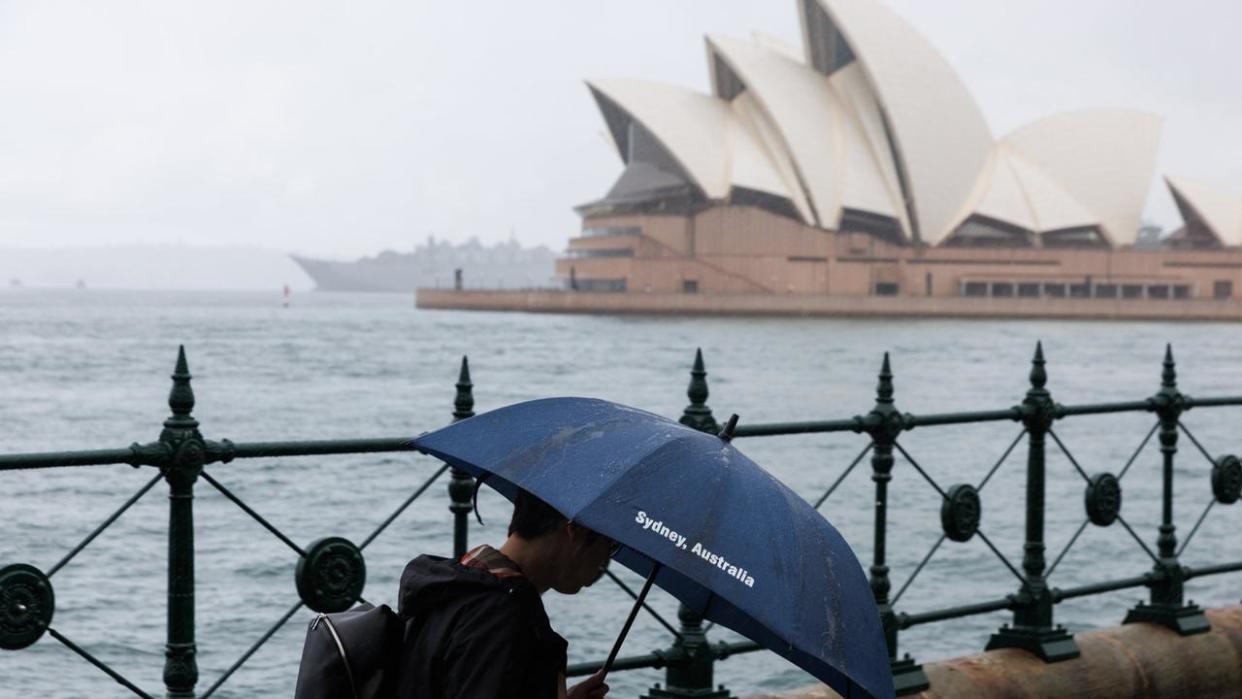
Anywhere from 20 to 45mm of rain is expected around Sydney on Saturday, with three to 20mm on the outlook for Sunday.

There was the potential for up to 200mm of rain within 24 hours in some southern parts of the state and a flood watch would be issued, the meteorologist said.
The bureau has issued warnings that heavy rainfall could lead to flash flooding in northern parts of the South Coast, southern parts of the Illawarra, eastern parts of the Southern Tablelands and far northeastern parts of Snowy Mountains districts from Saturday morning into Sunday.

“Six-hourly rainfall totals between 70 and 90mm, with isolated 100 to 120mm possible. 24 hourly totals between 80 to 120mm are likely and isolated falls up to 200mm are possible over the ranges,” the forecast reads.
NSW Police is urging residents to “consider staying out of the water and avoid walking near surf-exposed areas. ”
Sydney has smashed its record rainfall for the start of May with nearly 150mm recorded in the Observatory Hill gauge since the start of the month.
The bureau reckons up to four millimetres could fall on Monday and then there’s a 20 per cent chance of any rain Tuesday.
If the rain clouds stay away that will snap Sydney’s 13 day wet streak.

OTHER STATES
Meanwhile, the weekend’s storm is expected to also bring rain to other parts of the country, with Queensland expected to face rain and thunderstorms.
Queensland’s southeast is set to face most of the state’s deluge, with Brisbane set to remain wet for both Saturday and Sunday.
Canberra, as well as northern and eastern parts of Victoria, will also be facing an entire weekend of rain.
Over in WA, thunderstorms were predicted on Friday evening for the Margaret River and Busselton areas.
But residents were shocked at 4pm local time when a tornado tore through the town of Bunbury, causing widespread damage and thousands of homes to lose power.
A PCYC building with dozens of young people inside was completely destroyed, and many people injured.

