‘Triple-whammy’ of wild weather warning

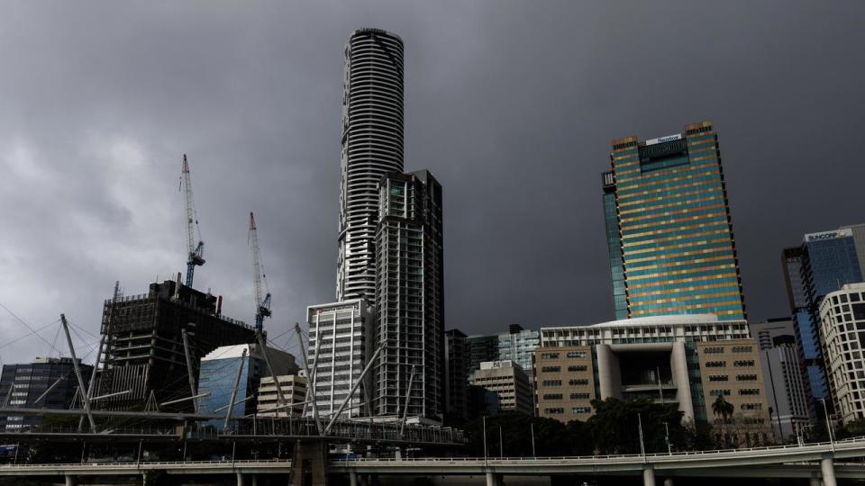
People on the east coast have been told to brace for another week of confronting weather as a “triple-whammy” of storms, heat and humidity expected to batter the states this week.
In Queensland, forecasts predict high temperatures over the next seven days, with Brisbane expected to swelter through tops of 35C and 34C on Thursday and Friday, according to the Bureau of Meteorology.
Further north temperatures will sit in the mid-to-high 30s throughout the week, combining with widespread rainfall and high levels of humidity.
NSW will also cop a deluge of rain as storm systems sweep across the region, bringing up to 150mm later in the week.
BOM meteorologist Dean Narramore said the latest wild weather has been created by a “water vapour loop” off the coast of South Australia.
“Heavy rain and severe thunderstorms (are expected) to impact much of southeastern Australia over the coming days and that is all thanks to an upper level low pressure system,” Mr Narramore said.

“The water vapour loop in the South Australian Bight is the feature that is going to move into south eastern parts of the country and bring widespread rain and thunderstorms. That is because it is going to combine with really warm, moist and unstable air.”
“By Wednesday lunchtime very unstable conditions set in across eastern Queensland and also northeast NSW where we are likely to see another round of dangerous and severe thunderstorms with large hail, damaging winds and heavy rainfall.
“That's enough to bring property damage, trees down, and cause flooded roads.”
Meanwhile showers of up to 50mm in Queensland are unlikely to bring much relief with wet conditions expected to worsen the already hot and muggy weather.
Forecasts for high dew points reaching up to 24C – which is considered an “oppressive” level of humidity – are expected for towns including Longreach and Ipswich combined with highs of 39C and 36C.

“(Further south) we are going to see widespread falls of 25-50mm through western NSW on Tuesday associated with severe thunderstorms in Broken Hill, Willcania, Ivanhoe and Cobar,” Mr Narramore said.
“Then on Wednesday the focus will shift up to the central and south coast of NSW where we could see widespread 50-100mm rainfall, even falls up to an isolated 150mm in places like Wollongong and Batemans Bay.”
Residents in Queensland and NSW are advised to monitor weather updates regularly and keep their eye on potentially dangerous conditions.


