
Temperatures drop as winter weather takes hold for the week
Winter is well and truly here with temperatures across the country plummeting.
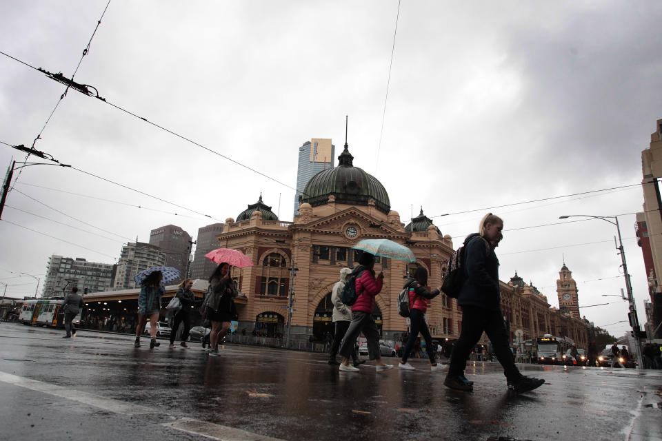
Melbourne will experience a high of 17 degrees on Monday with clear skies before temperatures continue to drop, reaching a high of 13 on Tuesday and 12 on Wednesday through to Friday.
Some parts of Victoria’s north are experiencing “extensive fog”, according to the Bureau of Meteorology with the sun set to “poke through” later on Monday.
In Echuca, in the state’s north, Thursday and Friday will see temperatures drop to as low as 0.
Sydney in for rain while Canberra becomes icy
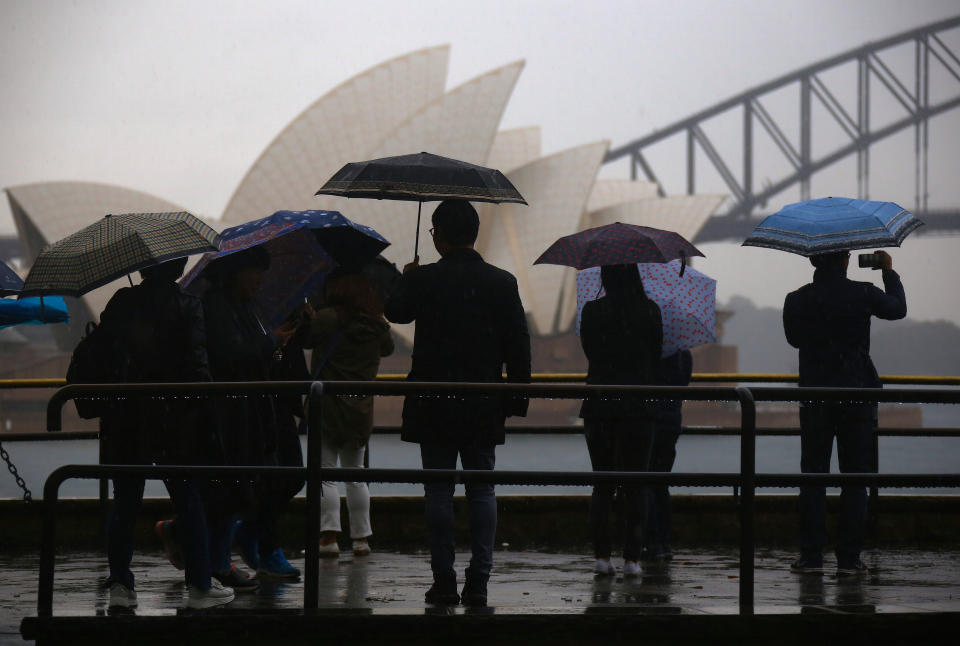
NSW will see rain to start the week with Sydney set to receive up to 10-15mm on Monday.
Minimum temperatures in Sydney will fall to single figures from Wednesday with forecast highs of 16 or 17 from Wednesday through to Sunday.
Showers aren’t forecast for Tuesday or Wednesday, but as much as 20mm is expected on Friday and Sunday.
Cold conditions are forecast for western NSW. Bathurst will hit -3 on Thursday while temperatures will fall to the same mark in Cowra on Saturday.
For those looking to hit the snow, Jindabyne and Perisher Valley are forecast for temperatures as low as -7 by the end of the week.
In contrast, Byron Bay in the state’s north will enjoy temperatures of between 11-18 for most of the week. However, light showers are expected.
In Canberra, freezing mornings are forecast this week with Thursday set to be the coldest with a low of -4 and a high of 11. Cloudy skies are predicted throughout the week.

Inland Queensland set for chills
Brisbane will have a chillier start to the week before temperatures slightly rise and drop again.
On Tuesday, residents will experience a low of 9 with a high of 22. It will warm up towards Friday with a low of 12 with temperatures across the weekend to sit as high as 20 with a low of 8.
Some showers are predicted.
Brisbane, where are you? @abcbrisbane #fog #viewsofbrisbane pic.twitter.com/vF5iUwQgZf
— Shelley Lloyd (@shelleymlloyd) June 15, 2019
North and Central Queensland along the east coast is set for a warm week with temperatures hovering between the low teens to the low 20s.
It will be much cooler further inland though, with residents of Charleville in Queensland’s southwest in for a low of -2 on Saturday.
Tuesday, Wednesday and Thursday will all see a low of 1 with a high of 16.
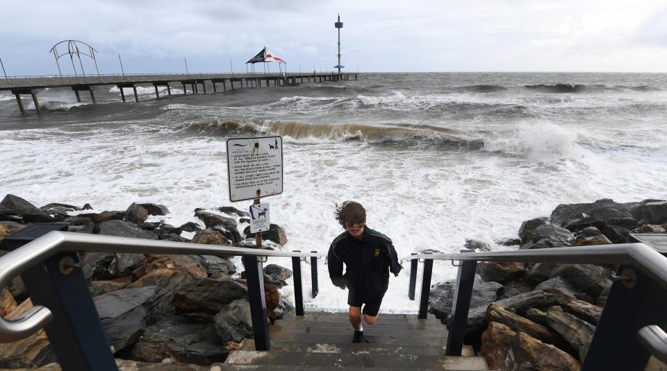
Showers for Adelaide and cold in the southeast
Adelaide residents can expect light rain throughout the week with late showers on Monday.
Tuesday will see a high of 14 with a low of 8. Saturday will see the same maximum but with a low of 5.
Mount Gambier, in South Australia’s southeast, will reach a low of 1 on Friday before it warms slightly over the weekend to a low of 2.
The maximum will sit at about 13 or 14 throughout latter parts of the week with maximums of 12 for both Tuesday and Wednesday.
Western Australia’s warmer weekends
On the West Coast, Perth residents are in for a chilly start to the week. Temperatures will reach 19 degrees with lows of between 3 and 6.
While the maximum temperature will remain about the same throughout the week, Friday, Saturday and Sunday’s lows will sit at about 10.
It’s much the same for those living in Western Australia’s south with Albany, Walpole and Denmark all experiencing lows of 6 and 7 and highs of about 17 throughout the week before the weekend’s lows rise to about 12.
Sunny Darwin as Tasmania cools
For those living in Tasmania, Hobart on Monday is predicted to be the warmest day of the week with a high of 15 before temperatures slightly to drop to around 12 approaching Friday.
Lows will sit at about 2 or 3 from Thursday through to the weekend.
Scottsdale in Tasmania’s north will reach chilly low of -1 on Thursday and Friday before warming slightly to 1 by Sunday.

In the Northern Territory, Darwin residents will enjoy a sunny week of highs in the low 30s with minimum temperatures sitting at around 17.
It’s a different story in Alice Springs though. While it will be a largely sunny week, temperatures are forecast to hit as high as 21 on Monday but as low as -2 by Saturday.
Do you have a story tip? Email: newsroomau@yahoonews.com.
You can also follow us on Facebook, download the Yahoo News app from iTunes or Google Play and stay up to date with the latest news with Yahoo’s daily newsletter. Sign up here.

