Stunning satellite photos show 'Pineapple Express' storms heading for Southern California

California was deluged by damaging atmospheric rivers last year and now the Golden State must brace for two more on the way this week.
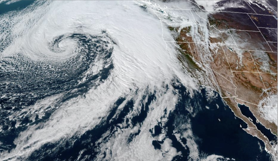
The photo below, taken Tuesday afternoon by the National Oceanic and Atmospheric Administration's GOES-West satellite, shows a massive storm approaching from the west.
The "Pineapple Express" atmospheric river gets its name from the tropical moisture it carries from the ocean near Hawaii to the mainland.

Last year's dozens of atmospheric rivers brought much-needed rain and snow to a parched California, but also caused widespread flooding.
Now, state officials are getting the word out that power outages and flooding may be coming with the incoming two atmospheric rivers.
Read more: California braces for inundation as atmospheric rivers barrel in from Pacific Ocean
“The state is working around the clock with our local partners to deploy life-saving equipment and resources statewide,” Gov. Gavin Newsom said in a statement. “With more storms on the horizon, we’ll continue to mobilize every available resource to protect Californians.”
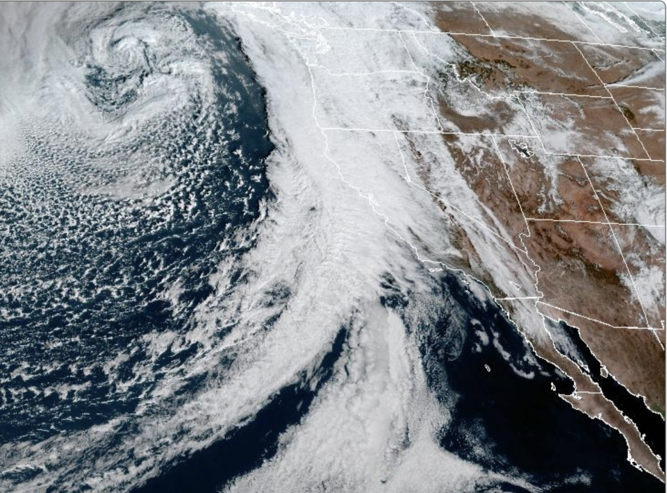
The photo below, taken Wednesday morning, shows the storm system reaching the West Coast and beginning to dump on Northern California, Oregon and Washington.

Showers have already begun in Northern California, with the storm's landfall progressing south in the next 24 hours, experts said.
By Thursday morning, the Central Valley and Southern California are expected to get several inches of rain, and snow at higher altitudes.
Read more: Major atmospheric river storm slams into Southern California
The forecast for Friday and Saturday predicts a reprieve for Southern California, but not for long.
The next atmospheric river, projected to be even more powerful, is expected to hit the state Sunday.
This story originally appeared in Los Angeles Times.


