
State to be battered by wild storm
After a warm Easter long weekend, Victoria is set for a brutal cold front, with severe weather warnings for high winds and heavy rainfall now in place.
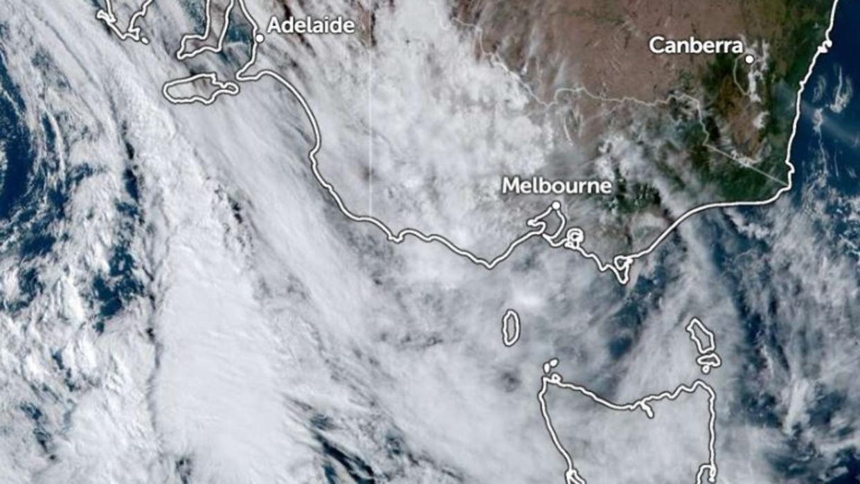
Bureau of Meteorology meteorologist Stephanie Miles said showers and thunderstorms were due to develop over the western parts of the state on Monday, before transitioning to a rain band with embedded thunderstorms in the afternoon.

“This rain band is associated with a cold front that will be crossing the state and will extend from roughly Madura down to the Otways during the afternoon,” Ms Miles said.
“And then it’ll be crossing Melbourne late this afternoon into the evening around midnight before the Eastern Rangers early tomorrow morning.
“We’re expecting heavy rainfall in the thunderstorms throughout this morning period, then broad areas of rain from this afternoon with the rain band.”
She said with high rainfall on the way, people should prepare for flash flooding.
“Flash flooding is definitely a possibility with this heavy rainfall, particularly most places that we said before whether they’re expecting heaviest rainfall,” Ms Miles said.
“However, we’re not really expecting any riverine flooding with this one.
“It’s more so just that flash flooding with the heavy rainfall and thunderstorms that will kind of just produce any nuisance flooding over roads and the likes.”
The oncoming storms are expected to blow the haze away that has been blanketing Melbourne, improving air quality and general visibility.
Ms Miles recommended staying extra vigilant on the road and keeping up to date with weather warnings from the Bureau.
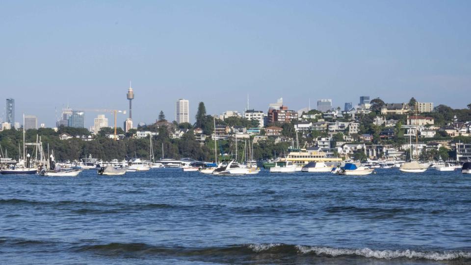
Warmth remains on the cards for Sydney, Canberra and Adelaide through to Tuesday, with similarly toasty conditions prevailing north of Melbourne.
Brisbane, Perth and Sydney can expect maximum temperatures between 27 degrees and 30 degrees – but a weather system will drag rain across southern Australia and cool changes are likely to move through on Wednesday.
In Darwin, more storms are expected to rage through the town but the temperature will stay characteristically warm at about 32 degrees, even increasing to 35 degrees in coming days.

