‘Severe’ heatwave, storms to wreak havoc

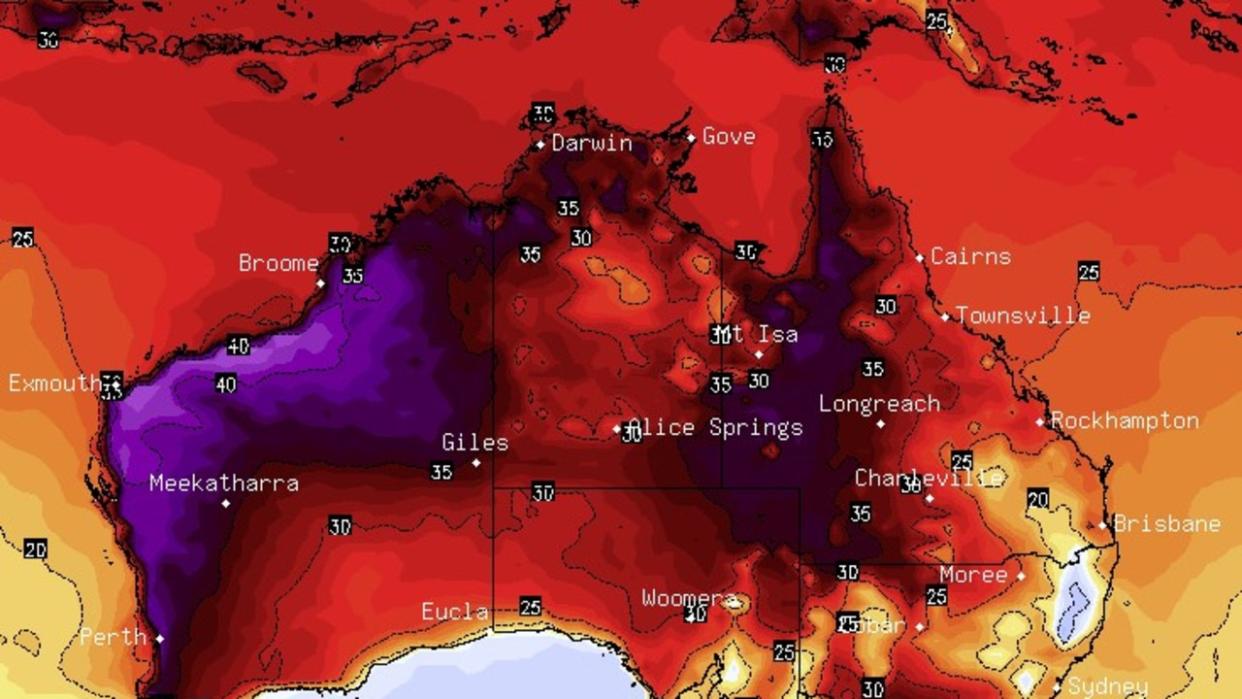
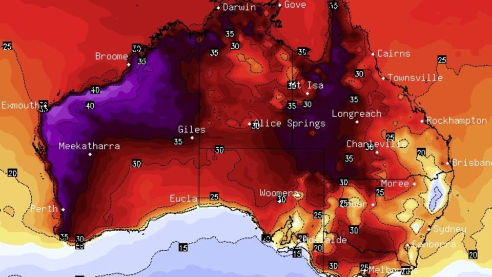
Severe weather conditions are forecast to blast both Australian coasts this week, with West Australians to swelter through a record-breaking heatwave while the east braces for up to 100mm in rain over the coming days.
Perth is set to crack both its maximum and minimum temperature records over the coming days, amid a sweltering heatwave moving across parts of WA’s coast.
Temperatures are set to reach up to 40C on Thursday alone.

Even overnight minimum temperatures are expected to sit above 25C.
A heatwave warning was issued by the Bureau of Meteorology (BOM) on Monday for swathes of WA’s Central West, Lower West and South West districts.
Temperatures are set to hover around the high 30s until next week, when BOM forecasts the maximum will drop to only 33C on Monday, then to 26C on Tuesday.

A BOM spokesman said locations likely to be impacted by the heatwave include Bunbury, Busselton, Gingin, Mandurah, Manjimup, Margaret River, Morawa, Perth Metropolitan Area and Yanchep.
“Heatwave conditions are expected to increase in intensity and extend over the Lower West and South West regions over the coming days,” the spokesman said.
“Severe heatwave conditions are likely to persist over parts of the South West until the weekend.”
Hot winds from WA’s northern interior being funnelled towards the west coast as
Weatherzone states the record-breaking temperatures are due to hot winds from WA’s northern interior being funnelled towards the west coast, as air circulates around that large high centred over the ocean south of WA.
“Temps could even climb to 44C or 45C in parts of the Central West district,” a Weatherzone spokesman said.

Another heatwave update will be issued by BOM later today.
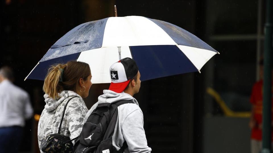
While the west coast swelters, the east coast is bracing for thunderstorms that could dump up to 100mm alone in central-southern Queensland and northern NSW.
Sky News Weather meteorologist Alison Osbourne said shower and storm activity would “flash up” through NSW and up into Queensland on Wednesday and Thursday.
She said a large high pressure system was building across southern Australia, which would “cradle” the low pressure system hovering over the east coast.
This would intensify rain between Saturday and Sunday.

“Over the next week we can expect widespread falls in the order 60 to 100mm, if not up to 200mm, through large parts of southern Queensland and the Murray Darling Basin,” Ms Osbourne said.
Ms Osbourne clarified it would depend on the movement of the weather system in land later in the week, which would influence the distribution of rain.
Brisbane’s maximum temperatures will reach between 27-28C until the next week, where it perks up to 30C, according to BOM.
Up to 25mm of rain could fall on the city next Tuesday.
Sydney’s temperatures won’t budge from the mid-20s until Sunday, where it will peak at 30C. Anywhere from 2-7mm of rain is forecast to fall over the rest of the week.
In Melbourne, up to 15mm of rain will pelt the city on Saturday.


