
Rare image captures Aussie volcano erupting
A stunning satellite photo has given a rare glimpse of a volcanic eruption on a remote island in Australian territory outside the Antarctic Circle.
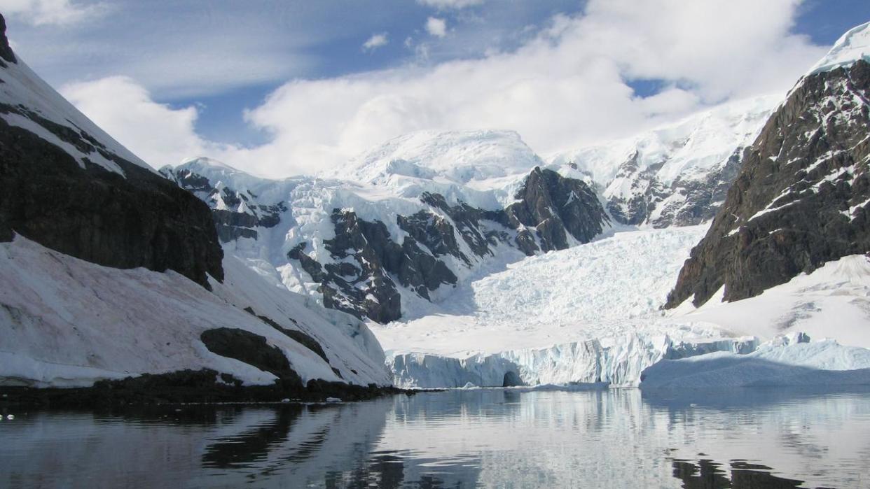
The active volcano on Heard Island, known as Big Ben, sits at 2745m above sea level and makes up most of the island.
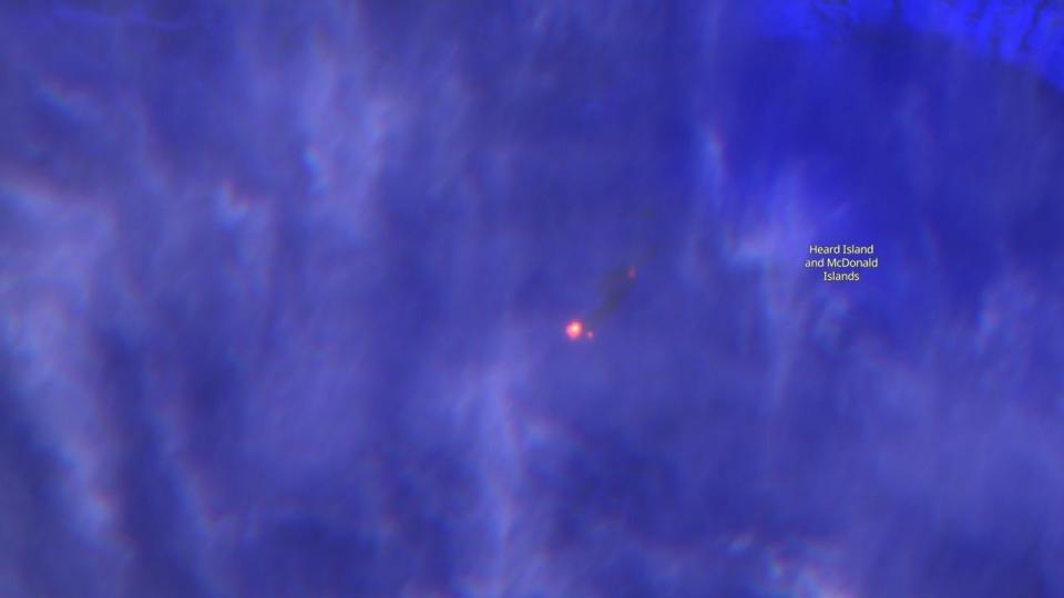
Images captured by the European Space Agency’s Copernicus Sentinel-2 satellite show lava flowing down the side of Mawson’s Peak on May 25, the summit of Big Ben.
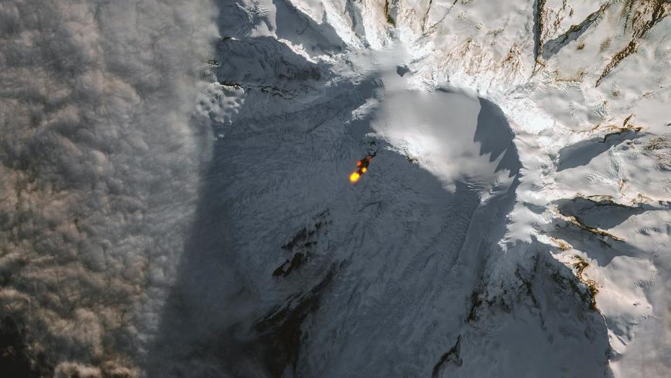
The lava flow was still visible days later, despite the island being obscured by clouds.
Big Ben is known to have erupted at least four times since 2000. The last known eruption occurred in 2016 and was witnessed and recorded by scientists who happened to be in the area on an expedition.
At 517m taller than Mount Kosciuszko, the mostly unknown mountain is officially the tallest in an Australian owned territory – excluding any in the Australian-claimed Antarctica territories.
Heard Island has 12 major and several minor glaciers which cover a majority of its landmass and is uninhabited.
It takes seven days through some of the roughest seas on Earth to reach the Heard and McDonald Islands from Fremantle in Western Australia.
McDonald Island, located 43km west of Heard Island, is also known to have volcanic activity, which has caused the island to double in size since the 1980s.

