
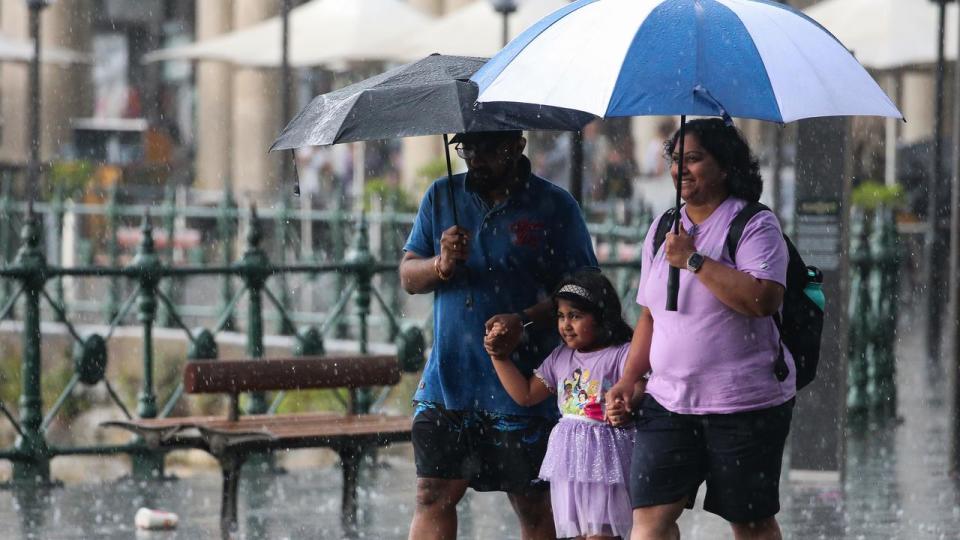
Rain to lash Qld’s east ‘for weeks’

After weeks of severe storms and heavy rain, Australia’s eastern states are likely to face more weeks of wet weather, with a meteorologist criticising a “common misconception” that an El Nino summer guaranteed dry conditions.
Sky News meteorologist Alison Osborne said there was a “high chance of above-average rain through northeastern and eastern Australia” before the conditions begin to dry out in February.
She said the “spiteful” positive Southern Annular Mode (SAM) – a ring of westerly winds that hug Antarctica – was promoting easterly winds and driving rains across Australia’s east coast.
“That is pretty difficult to predict in advance beyond a couple of weeks, but at the moment that has been a big driver of the rain and storm events through eastern Australia in particular,” she said.
“That thing has been wobbling positive since early December, and it’s likely to remain that way for at least the next two weeks.”

Ms Osborne’s warning of a wet January rings true for this weekend.
The Bureau of Meteorology forecasts “lingering” wet weather that will develop on the weekend and into next week.
On Saturday, a low pressure system will develop in South Australia, with the associated rain band, and potential thunderstorms, reaching Adelaide by the late afternoon.
From Sunday, the system is forecast to reach western NSW, southwestern Queensland, Victoria and Tasmania.
The bureau’s senior meteorologist Angus Hines said widespread rainfall would hit areas of Tasmania, Victoria and “most of” NSW.
“When you combine the wet weather in the east and the south with the daily storms in the north, (you’ll be) pretty hard pressed to find parts of central and eastern Australia that have a dry three-day stretch ahead,” he said.
“Most of the country is lining up for some form of wet weather.”
The wet weather prediction comes despite an El Nino alert, which has been active since September.
However, Ms Osborne said it was a ”very commonly held misconception” that El Nino meant reduced rainfall in the summer months.
“The influence of rain from El Nino from November onwards is pretty marginal through eastern Australia,” she said.
In comparison, an La Nina alert was a stronger influence on rainfall patterns, leading to higher levels of precipitation and lower temperatures.
There is a deep-held belief that El Nino means a dry summer.... data below from The BOM shows that this is very often not the case - over 14 separate El Nino events, rain has been close to average over large parts of the nation. El Nino isn't a 'Magic' that turns the taps off. pic.twitter.com/0v26bJ9OdY
— Alison Osborne (@Alison_Osborne_) December 30, 2023
However from February, the moisture is predicted to dissipate, bringing “quite a high chance of above-average temperatures and quite a decent chance of temperature extremes through the northern tropics and the northwest”.
While the temperatures might not be as dramatic in areas across southeast NSW, Canberra and southern Queensland, Ms Osborne said “everywhere else is skewing normal or unusually warm”.
The threat of bushfires could also ramp up, as drier conditions take hold in February.
While the immediate threat is hampered for a time after it rains, with Ms Osborne noting “it’s pretty hard to light a wet match”, the rain could also encourage new vegetation growth that could promote fires once the heat and dry conditions return.
“If there is a swing back to drier-than-average conditions, combined with high heat, then that can change things quick quickly,” she said.

