
El Nino alert issued for Australia
The move from an El Nino “watch” to an “alert” means that there is a 70 per cent chance of the weather event developing this year, according to BOM Senior Climatologist Catherine Ganter.
“While the models show it’s very likely the tropical Pacific Ocean temperatures will reach El Nino levels during winter, we have seen some movement in the atmosphere towards El Nino conditions,“ Ms Ganter said.

“While our El Nino “alert” criteria have been met, these changes will need to strengthen and sustain themselves over a longer period for us to consider an El Nino event.”
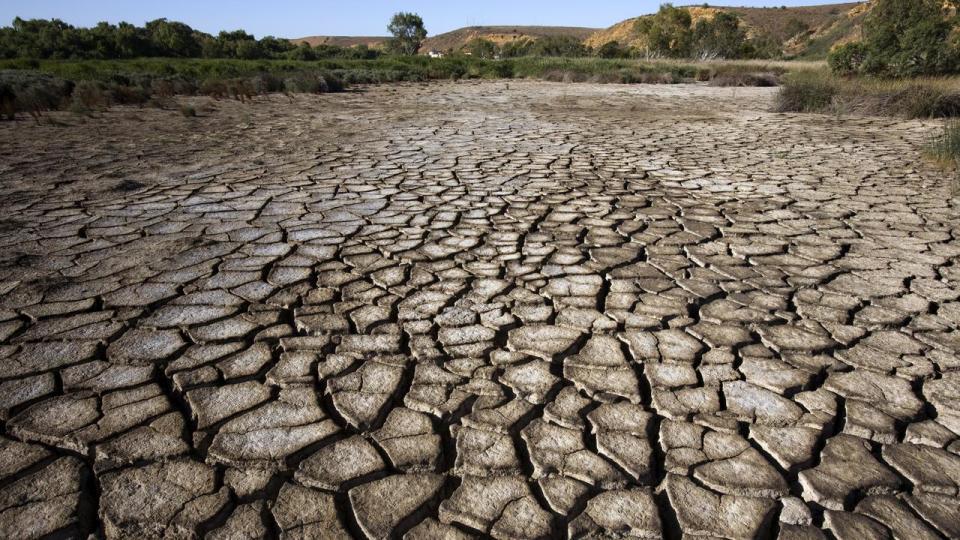
El Nino largely affects Eastern Australia and brings dry weather as well as warmer than usual temperatures for the southern two-thirds of the country.
It also brings an increased risk of extreme heat across large parts of the country and increased bushfire danger in southeastern Australia.
The BOM’s long-range forecast for winter includes drier and warmer conditions “across almost all of Australia” according to Ms Ganter.

“The long-range forecast for winter also shows an increased chance of below average rainfall for almost all of Australia and the move to El Nino “alert” does not change this forecast,” she said.
El Nino’s opposite weather pattern, La Nina, has gripped Australia for the past three years, bringing with cooler and wetter weather to the southeast.
The La Nina’s experienced from late 2020 to mid-2022 were stronger and longer than those in the past, bringing record rain and widespread flooding.
More to come.

