
NSW smashed by ‘mountain’ waves and snow
Residents across New South Wales are being urged to keep away from the coast as strong winds continue to drum up dangerous surf.
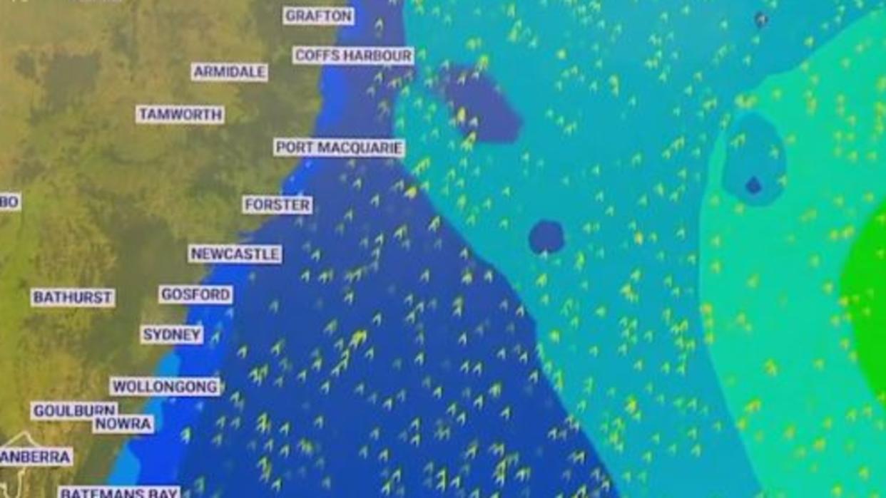
Hazardous surf warnings remained in place on Tuesday along the coast of NSW, including the Byron Coast, Coffs Coast, Macquarie Coast and Hunter Coast.
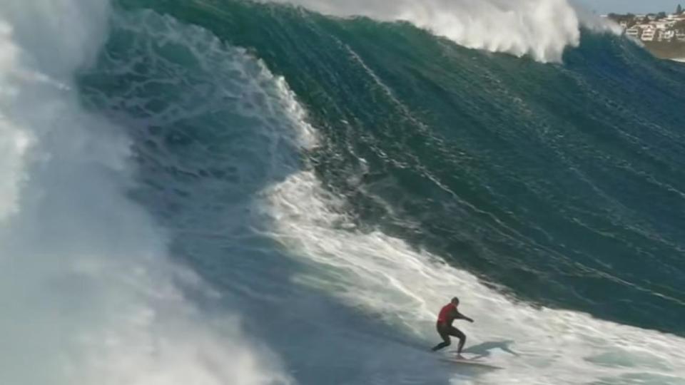
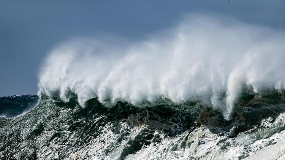
Waves of up to six-metres are possible after “mountain-like” waves of up to 12 metres smashed daring surfers at Sydney’s eastern beaches on Monday.
People are being urged to stay out of the water and avoid walking near surf-exposed areas.
NSW Maritime acting executive director Darren Wood said he “wouldn’t recommend going out at all”.
“They’re dangerous conditions to be out on the water … if you go out on your boat there’s a good chance you’ll capsize,” he said.
“Just stay out of the water, it’s not worth it.”
The warning comes after a large catamaran reportedly broke from its mooring on the Parramatta River, while a second vessel washed up on Callala Bay.
Manly Beach is the only patrolled beach to remain open along the coast on Tuesday, while waves of up to six-metres in height remain possible throughout the day.

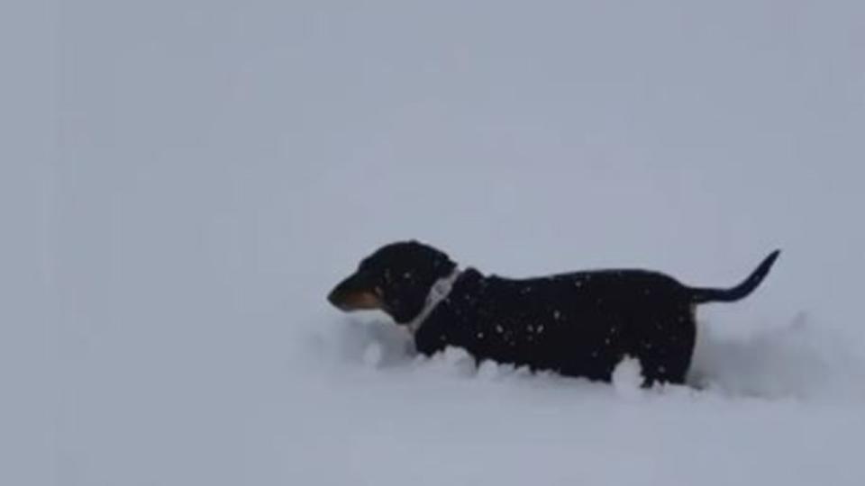
The small rural town of Oberon on the western fringe of the Greater Blue Mountains woke up to snow for the first time this year on Monday.
Despite there being three more weeks of Autumn, residents enjoyed the picturesque scenery as cars, trees and homes were blanketed with snow after the mercury dipped below 0C.
Sky meteorologist Rob Sharpe said this week had brought “very cold (temperatures) for many regions”, while eastern parts of the country had their coldest morning for many months.
“It’s the coldest morning so far this year (for Townsville),” he said, with the town waking up to temperatures of just 15C on Tuesday, while Brisbane also had its coldest morning.
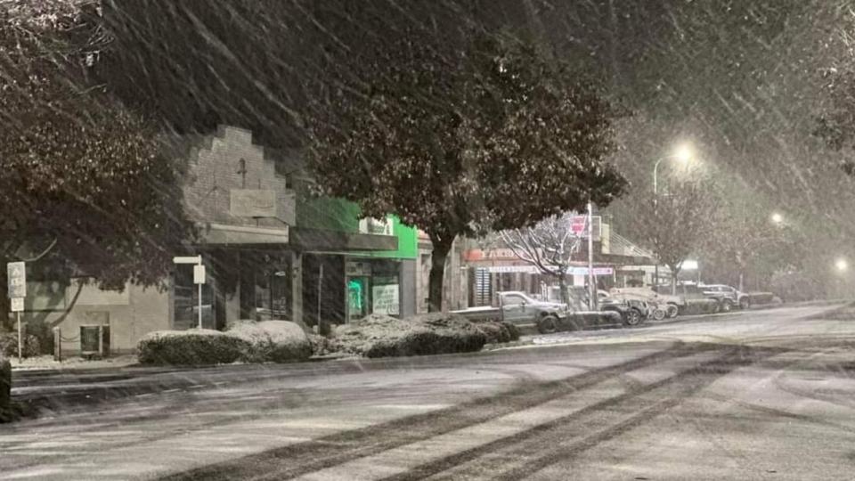
Alice Springs dipped down to -0.8C while Canberra shivered through -3.1C in the early hours.
“Temperatures in Victoria are a little bit below normal but not the coldest we’ve seen,” he said.
“It’s a taste of winter.”
Mr Sharpe said there had been significant beach erosion after wild surf battered the NSW coast on Monday, with waves reaching up to 12m in height.
“Especially for those south-facing beaches that have been the most exposed to these very large waves,” he said.
“There’s been some significant coastal erosion moving through.
“There’s been significant impacts, not just because there’s been big swells, there’s also been king tides as well.”
While Canberra dipped below -3C on Tuesday morning it faces -1C on Wednesday, with the risk of frost not tipped to wane until later in the week.
Brisbane had its coldest morning of the year so far with lows of 9C and can expect rain for the second half of the week.
Wet weather will persist in Melbourne with the city’s eastern suburbs set to cop the bulk of the wet weather, clearing from midafternoon on Wednesday.
Hobart will see similar temperatures day to day over the week while Adelaide will have generally dry weather, with temperatures rising slightly towards the end of the week.

A cold change will arrive in Perth on Wednesday after it enjoyed highs of 25C on Tuesday, while Darwin will receive some cooler nights before humidity levels rise over the weekend.
Frosty mornings will persist throughout the week in southeast regions while Darwin might see its first 20C morning on Friday for the first time this year.
Some “niggling” wet weather will persist for the southeast corner of the country with the odd shower in parts of SA, Victoria and Tasmania, while west WA might have the “odd thunderstorm”.
Other than that, Mr Sharpe said weather on Tuesday for the rest of the country is looking “pretty nice”.
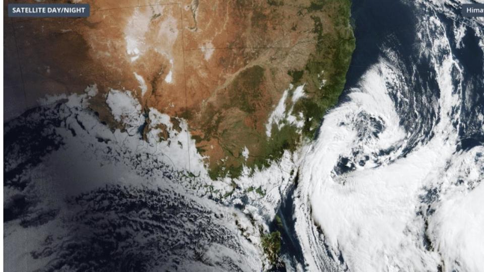
A trough pushed strong winds and cooler temperatures across the southern states over the weekend, and the BOM says a second burst of cold air is expected to come in from the south of the country over the coming days.
Sydney, Melbourne and Canberra residents woken up to the coldest morning of 2023 on Monday, as a cold front blasted through Australia’s southeast.


