Alaskan storm system moves into Sask., bringing snow

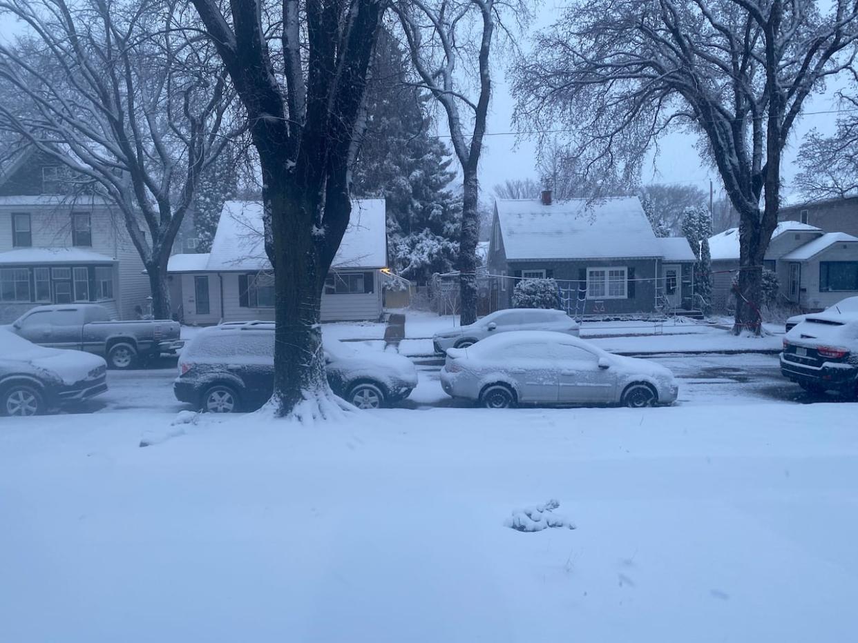
A springtime snowfall has some Saskatchewan streets looking slushy Wednesday.
The storm system coming from Alaska left a slushy mess Tuesday of 5.5 cm in Saskatoon but zero in Regina, according to Environment and Climate Change Canada (ECCC) data, but both cities have more coming Wednesday.
The conditions in Saskatoon are expected to reach a low of –7 C with 70 km/h winds Wednesday, with Thursday's high for the city forecasted at only –3 C.
In a release, the City of Saskatoon said crews would be clearing priority streets and sidewalks on Wednesday, and warned that the slush could freeze, creating slippery conditions as temperatures drop overnight.
Regina's low is forecast at –6 C, with slightly less precipitation but marginally stronger winds. The city is expected to get about 2 cm of snow on Wednesday and then another 2 cm on Thursday.
Thursday's high in Regina is forecast to be –2 C, 13 degrees below the seasonal average.
On Wednesday morning, snowfall warnings continued to be in effect for east central regions of the province such as Hudson Bay, Melfort, Nipawin, Tisdale, La Ronge and Pelican Narrows.
About 10 cm is expected for the Milford and Hudson Bay areas Wednesday during the day, with another 5 to 10 cm at night.
Eric Dykes, a senior meteorologist with ECCC, said "perhaps as much as 25 cm worth of snowfall" could be expected for East Central to northeastern portions of the province.

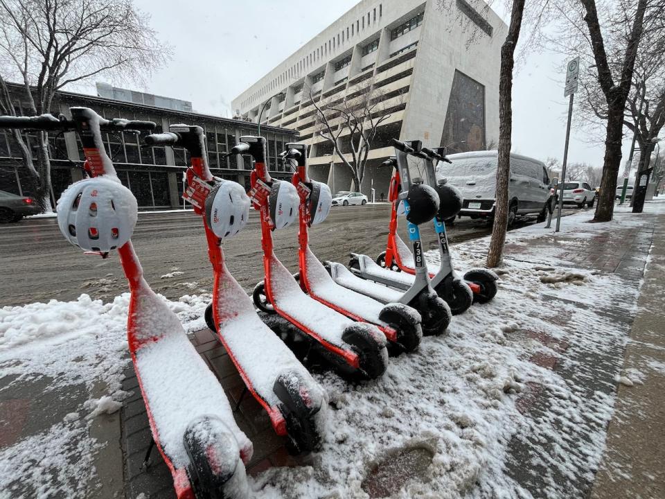
E-scooters, which returned to Saskatoon earlier in the week, were covered in slushy snow on Wednesday. (Liam O'Connor/CBC)
Highways and melt
Saskatchewan's Highway Hotline advises that winter driving conditions exist for much of the province's central and southwest regions.
Reduced visibility and slushy conditions are being reported on highways around Saskatoon Wednesday morning.
"Let people know where you're going, of course, so that they know where you are. If you can, don't forget to pack a first aid kit if you don't have one for your car," said Dykes.
"Just take your time as well, because the roads will be a little bit treacherous as we go through today and into tomorrow."
According to Dykes, the snow will be on the ground for the next few days.
"With the weekend coming up and the sun coming back out and temperatures getting close if not exceeding the normals for this time of year, we're going to be seeing the snow melting quite nicely as we get through the weekend," said Dykes.
"Certainly by early next week, there won't be much of it left."
The Alaskan storm system will slowly move east into Manitoba.


