
'Zombie cyclone' expected to regain strength and reform off Queensland coast
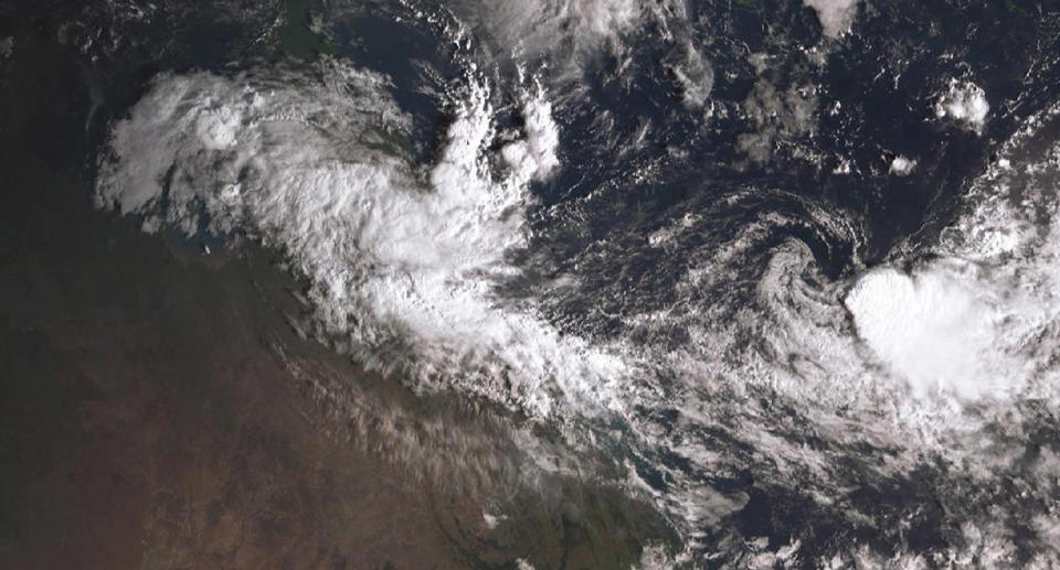
Ex-cyclone Owen is dumping heavy rain in Queensland’s far north and is expected to reform into a cyclone by the middle of the week.
The low pressure system crossed the coast near the far north Queensland resort town of Port Douglas early on Monday and tracked west across Cape York Peninsula.
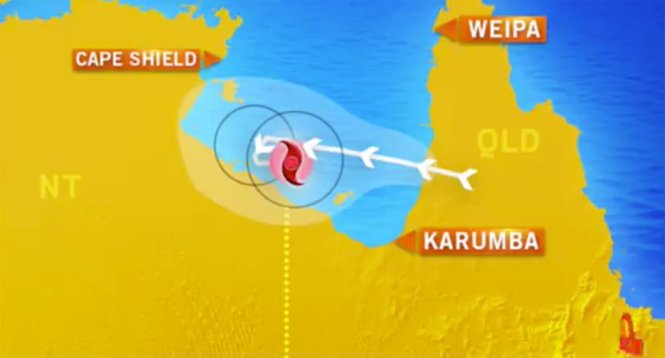
Dubbed the “zombie cyclone”, it’s expected to continue heading west towards the Gulf of Carpentaria, where it could gather strength and become a category three cyclone again by Wednesday.
It’s now sitting over the gulf, where warm waters are expected to see it strengthen into a category one cyclone on Wednesday morning, before becoming a category three storm on Thursday.
Moisture could also be dragged south and bring wet weather to Queensland’s southeast corner, the Bureau of Meteorology says.
Severe weather warnings are current for communities from Port Douglas south to Ingham. A flood watch is current for coastal catchments from Cairns south to Rollingstone, and a moderate flood warning is current for the Mulgrave River.
Communities around Cardwell, half way between Cairns and Townsville, have recorded 300mm of rain, most of it falling in the past six to 12 hours.
Other far northern communities have seen falls of 200mm. The system also brought strong winds to the region, with gusts of 90 to 100km/h recorded.
Senior forecaster Rick Threlfall says system is heading west and the warm waters of the Gulf of Carpentaria.
“It could potentially come back as Owen mark II,” he said, with a moderate chance the cyclone will reform on Wednesday.
