
Wild weather keeps coming
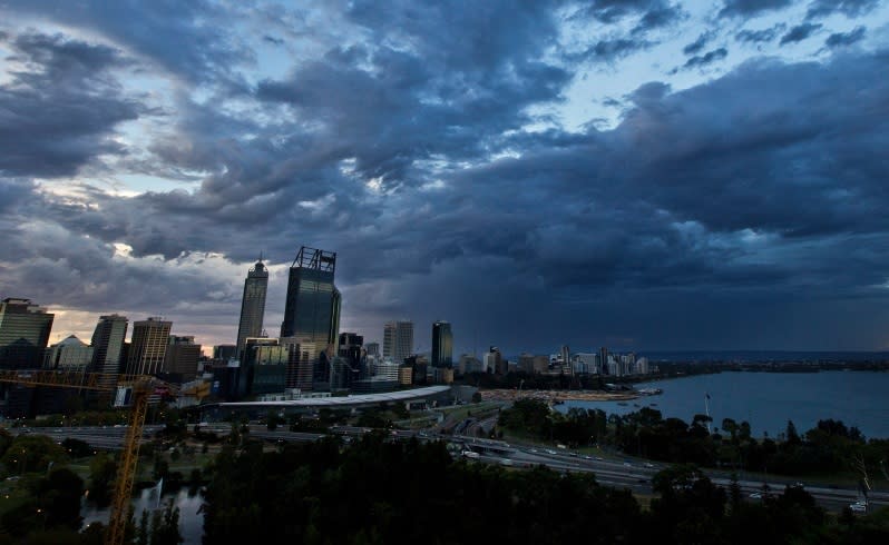

More than 25mm of rain was dumped on parts of Perth after wild weather battered the State overnight.
Perth hills recorded the most rain in the 24 hours to 9am, with Roleystone recording 27mm and Bickley 21mm.
The heaviest fall in the metropolitan area were at Perth and Swanbourne, which both recorded falls of 11mm.
In the south of the State, more than 30mm fell in some areas, including 33mm in Below Dam, between Mandurah and Bunbury.
Meanwhile, the South West is being told to brace for damaging winds, hail and thunderstorms as another cold front crosses the region this afternoon.
Wind gusts of 102km/h have already been reported at Cape Leeuwin this morning and the wild weather is expected to continue into this afternoon.
The Bureau has issued a severe weather warning for areas south of a line from Bunbury to Hyden to Hopetoun, including areas near Bunbury, Narrogin, Katanning, Albany, Bridgetown, Margaret River, Busselton and Esperance.
A deep low pressure system lies south of Cape Leeuwin and a cold front, which is crossing the south-west corner of the State, is expected to move east during the day.
The Bureau has warned winds up to 100km/h could damage homes and property and says small hail stones could also be possible in areas south of a line from Margaret River to Bremer Bay.
Tides are also high along the coast.
People in the South West are urged to find shelter away from trees, powerlines, storm water drains and streams, close curtains and stay away from windows.
People are also being asked to unplug their electrical appliances during the storms, avoid using landline telephones during lightning and be alert when using the roads.
