
Smoke haze continues to plague Sydney as southeast set for record heat
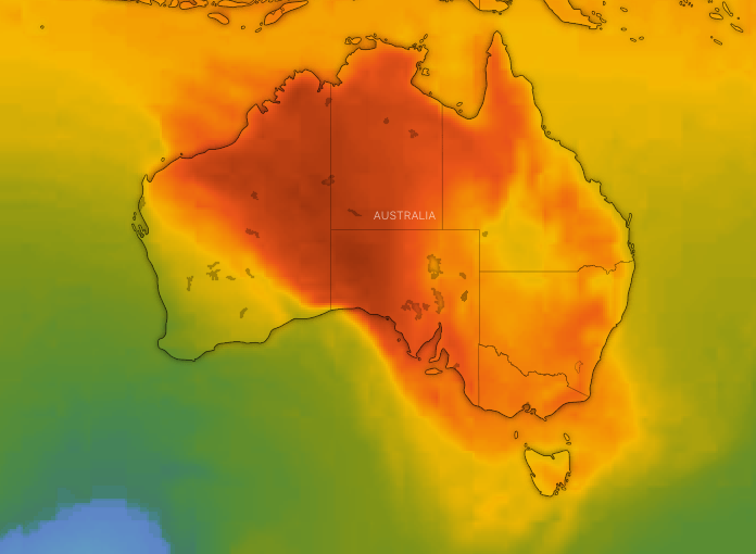
Australia’s year of extreme weather has continued with sweltering heat across Australia’s southeast not seen for decades, while Sydney has been blanketed by thick smoke mixed with fog as bushfires continue to burn in NSW’s north.
Melbourne will record its hottest October day in four years if a forecast top temperature of 35 is reached on Thursday, while Sale, in Victoria’s east, could beat a 74-year heat record.
Melbourne had reached 32 by 2pm. The burst of heat is extending across the state, fanned by northerly winds.
Sale had reached 35.4 by 2pm and if it beat 35.7 it would beat a 74-year heat record, Bureau of Meteorology senior forecaster Michael Efron said.

Sale's hottest recorded October day was 34.7 degrees in 1945.
"If it exceeds that, it will actually break the record for their hottest October day since records began there," Mr Efron said.
Melbourne is on track to reach its top late afternoon.
"We'll see that well and truly in the 30s I think by late morning, and it should be hitting 35C in the city, probably around that 4pm to 5pm," Mr Efron said.
"It could be the hottest October day in four years."
Melbourne has not reached an October day temperature of 35 since October 6, 2015, when it hit 35.8 degrees. Last week it reached 33.8 on October 24.
Most of Victoria is expected to reach the mid 30s, while the hottest spots are mostly in northern Victoria.
Swan Hill, Echuca, Shepparton and Horsham are forecast to reach 36, while Mildura and Horsham are tipped to soar to 35 and Geelong, 36.
A warm night statewide is expected, with Melbourne falling to a low of just 22 overnight before reaching an expected top of 34 on Friday.
"We'll actually see the winds picking up as well, so it's looking very windy through the Melbourne region late morning on Friday and that's with a low pressure trough approaching from the west," Mr Efron said.
Cloud is expected to increase also throughout the day, with rain and potentially thunderstorms arriving in the city about 11pm.
South Australia’s hot Spring continues
South Australia is also endure blistering temperatures with Adelaide exceeding 36 by 2pm on Thursday – just one week after the temperatures soared to 37C in the state capital.
Port Augusta is predicted to reach 39 while coastal town Ceduna will rocket to 41.
While the temperature will drop slightly moving into Friday, bringing showers in the process, it won’t be until Saturday when normality will resume with temperatures of 23 in Adelaide.
The east coast will escape the scorching heat with Sydney forecast to reach 27.
However, it was other conditions prompting concerns across the city as Sydneysiders woke to another smoky day thanks to the haze from fires in NSW's Mid North.
Smoke from bushfires near Port Macquarie and the Hunter region has been pushed down over parts of Sydney, and as far as Bowral in the Southern Highlands.
The Department of Environment has forecast air quality in Sydney for Thursday as "poor" due to particles, and those with a chronic respiratory or heart condition have been encouraged to avoid outdoor activity and stay indoors.
Sydney air quality deemed ‘hazardous’
The department's air quality index showed parts of the lower Hunter, upper Hunter, Central Coast and Sydney's east are rated as "hazardous".
Within the Sydney area, Randwick, Rozelle, Chullora, Earlwood and Macquarie Park were given a hazardous rating.
Northerly winds will continue into at least Thursday with the potential to bring more smoke over the affected areas, authorities say.

"It is mixing currently with fog, but we are expecting that to clear a little across the day. But it may not completely clear for another 24 hours," the NSW Rural Fire Service said in a statement.
The RFS said 60 fires are currently burning across the state with 38 still not contained, requiring the attention of 1000 firefighters and support staff.
However, rain is expected across the state on Sunday, offering partial relief.
While there are no total fire bans in place for Thursday the greater Hunter, greater Sydney, Illawarra/Shoalhaven, far South Coast, Southern Ranges and Central Ranges areas are under very high fire danger.
A #smoky afternoon in #Sydney looking towards the SCG. Poor air quality from #bushfires in NE NSW is set to persist overnight into Thursday as winds continue from the north. Forecast: https://t.co/v0AadSzb6N Current air quality: https://t.co/xHJLTufS35 pic.twitter.com/n0RdTbws2s
— Bureau of Meteorology, New South Wales (@BOM_NSW) October 30, 2019
Melbourne Cup day set to be partly cloudy
The weather on the day of the Melbourne Cup, on November 5, is set to be mild and partly cloudy with a top of 20 forecast for Melbourne. Light winds are also expected.
Meanwhile, the best tip for Derby Day, on Saturday, is to bring an umbrella.
Punters could be in store for a soggy day of almost tropical conditions, with at least 10mm on rain tipped to fall across the Melbourne region.
A humid top of around 24 is forecast.
"Moisture coming down from Queensland will help generate those showers and storms," Mr Efron said.
"It's quite unsettled on Saturday, not just in Melbourne but eastern Victoria as well, especially those north eastern districts about the ranges," Mr Efron said.
He urged travellers to keep abreast of any warnings if heading into unfamiliar territory.
"That rainfall could cause some issues across the state, especially Saturday," he said.
With AAP
Do you have a story tip? Email: newsroomau@yahoonews.com.
You can also follow us on Facebook and Twitter, download the Yahoo News app from the App Store or Google Play and stay up to date with the latest news with Yahoo’s daily newsletter. Sign up here.

