
Weekend weather: Rain, storms and falling temperatures set for five capital cities

Sydney, Melbourne, Canberra, Adelaide and Darwin could all be in for wet weekends with rain forecast in all five cities.
More rain, longer and more intense heatwaves and humid conditions are expected over the coming weeks and months due to La Nina forming.
The Bureau of Meteorology’s severe weather outlook forecasts longer heat waves for South Australia, Victoria and NSW with median minimum temperatures rising over the next two or three weeks.
Sydney weather forecast
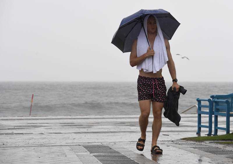
Sydneysiders had better pack the umbrella for Sunday at least with showers forecast in the afternoon and evening.
Friday and Saturday also bring the possibility of light showers too. On the temperatures front, the weekend should hit tops of about 25-27 degrees.
Friday: 17-24, possible showers, 0-1mm
Saturday: 15-27, possible showers, 0-1mm
Sunday: 17-26, showers, 5-10mm
Canberra weather forecast
Thunderstorms are possible in Canberra on Sunday afternoon and evening following two days of showers.
Canberra should receive up to 15mm on Friday, 3mm on Saturday and up to 6mm on Sunday.
Temperatures should hit tops in the low 20s.
Friday: 11-21, showers
Saturday: 10-22, showers
Sunday: 12-20, showers
Melbourne weather forecast
Melbourne’s top of 25 on Thursday is set to drop by six degrees to 19 on Friday with early showers forecast.
Saturday and Sunday should bring showers too with similar temperatures.
A thunderstorm is also possible Saturday afternoon and evening.
Friday: 11-19, possible shower, 0-1mm
Saturday: 12-19, showers, 5-10mm
Sunday: 12-16, a few showers, 2-6mm
Adelaide weather forecast
Similar to Melbourne, Adelaide is in for a temperature drop from a top of 27 on Thursday to just 18 on Sunday.
The chilly conditions bring the possibility of showers across the weekend but the CBD might only receive at most 1mm each day.
Did you know during #LaNina there's typically more tropical #cyclones in the Australia region? The first cyclone to cross the coast also tends to occur earlier in the season. #Yasi was one of the most powerful cyclones to impact Australia during La Niña https://t.co/SSgWKyz84R pic.twitter.com/hQTFeip8cy
— Bureau of Meteorology, Australia (@BOM_au) October 14, 2020
Expect conditions to rise again into the high 20s in the mid to late part of next week.
Friday: 13-25, possible shower, 0-1mm
Saturday: 13-20, possible shower, 0-1mm
Sunday: 11-18, partly cloudy, 0-0.4mm
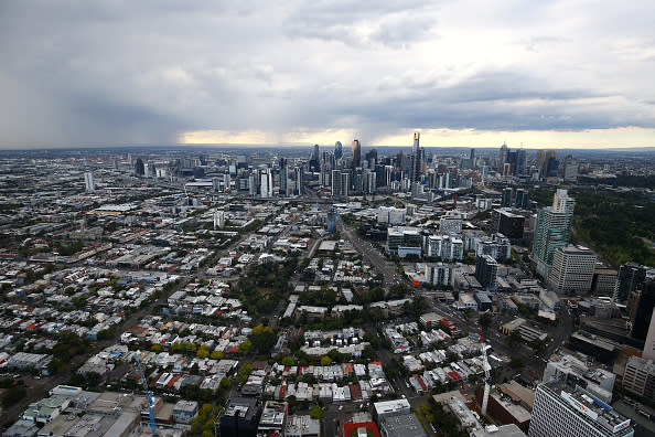
Brisbane weather forecast
Patchy fog can be expected in Brisbane’s west on Friday morning.
Conditions across the weekend will be mostly cloudy but otherwise fine and sunny.
Expect tops of 27 and lows of 15.
Friday: 15-27, sunny
Saturday: 15-27, cloud clearing
Sunday: 15-27, mostly sunny
Tasmania weather forecast
Showers have begun to ease in Hobart ahead of a cloudy weekend. A top of 19 on Thursday will drop to 13 on Friday.
Conditions will slightly warm over the weekend though as the cloud cover clears.
Launceston can expect similar conditions albeit with slightly higher top temperatures.
Friday: 5-13, cloudy
Saturday: 5-15, cloudy
Sunday: 7-16, partly cloudy, 0-0.2mm
Perth weather forecast
Some cloudy conditions on Friday in Perth should clear ahead of the weekend.
It’s set to be a toasty one in the west too with Sunday possibly hitting 30 degrees.
Friday: 11-25, mostly sunny
Saturday: 11-27, sunny
Sunday: 13-30, sunny
Darwin weather forecast
Darwin residents are in for a weekend of wild weather with showers and thunderstorms.
The rain won’t be heavy though with at most 4mm on Friday and Saturday, and 1mm on Sunday.
Friday: 25-32, possible shower or storm, 0-4mm
Saturday: 25-32, shower or two, possible storm, 1-4mm
Sunday: 25-33, shower or two, possible storm, 0-1mm
Do you have a story tip? Email: newsroomau@yahoonews.com.
You can also follow us on Facebook, Instagram and Twitter and download the Yahoo News app from the App Store or Google Play.

