
Papua New Guinea rocked by 6.3 magnitude earthquake

Papua New Guinea has been hit with a 6.3 magnitude earthquake.
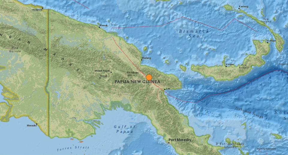
The quake struck on land about 38km northeast of Kainantu, a town that was used in World War II for its airstrip.
According to the United States Geological Survey the quake hit at a depth of 103.5km and could be felt up to 100km away from the epicentre.
There are currently no tsunami warnings in place for the surrounding area.
The nation experiences regular earthquakes, though most register under magnitude 5.
Papua New Guinea’s strongest earthquake occurred on February 26, 2018, and triggered landslides and sinkholes.
160 people were killed in the disaster, while aftershocks in the coming weeks claimed the lives of a further 40 people.
Do you have a story tip? Email: newsroomau@yahoonews.com.
You can also follow us on Facebook, Instagram and Twitter and download the Yahoo News app from the App Store or Google Play.


