
Dozens of cars heading for airport get stuck in mud on Google Maps detour
More than 100 cars heading towards the airport became stuck in mud after Google maps sent them on a bizarre detour around a crash zone.
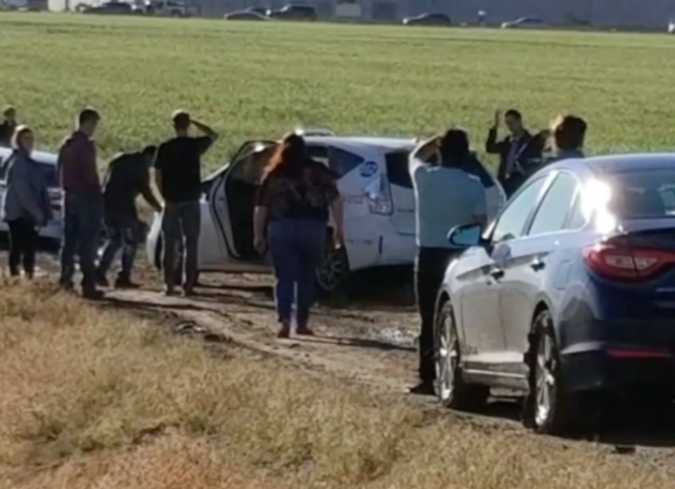
Drivers blindly followed behind each other down a dirt track on Sunday, after the main route to Denver International Airport, in the United States, became disrupted.
Dozens of drivers assumed it would be safe despite recent wet weather, however they were proven wrong a short way into their journey.
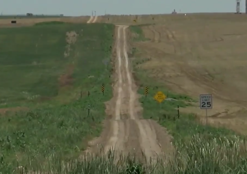
The blockage on Peña Boulevard meant drivers were sent down East 64th Avenue, which was fine until it turned into a slippery wet track between two ditches.
One of the drivers, Connie Monsees, followed when she saw other vehicles taking on the road, thinking she would be fine.
"It was supposed to be half the time," Ms Monsees said.
"It spit us out onto a dirt road, but my thought was, well, there are all these other cars in front of me so it must be OK. So I just continued."
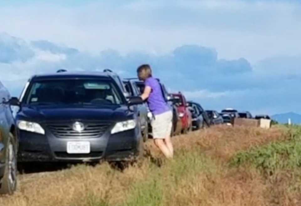
A short way into the risky route, cars started becoming bogged, with no option but to wait for help to arrive because there was “no turning back”.
"That's when I thought, this was a bad idea. Why did Google send us out there to begin with?,” Ms Monsees said.
The road was not believed to be owned by councils in Denver or Aurora, and it was unknown if it was open for public use.
Do you have a story tip? Email: newsroomau@yahoonews.com.
You can also follow us on Facebook, download the Yahoo News app from iTunes or Google Play and stay up to date with the latest news with Yahoo’s daily newsletter. Sign up here.
