
Huge polar blast could bring snow as far north as Queensland
Pull out your scarves, gloves and blankets because a mass of chilly polar air is headed as far north as Queensland, with frost and snow expected to round out the week.
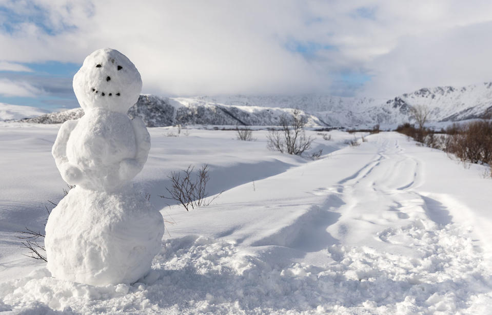
The biggest cold snap of the year is upon us in coming days, with the blast likely to bring snow across several states as the polar front approaches, forecasters predict.
The polar blast is expected to be widespread, likely to cause snow to low levels in southeastern Australia later this week.

“One of the coldest air masses of the year will spread over southeastern Australia between Thursday and Sunday, producing a burst of wintry weather and widespread, low-level snow,” Weatherzone warned.
On Thursday, snow could fall down to about 600 to 700 metres above sea level in Victoria, 800 metres in Tasmania and 900 metres in southern NSW, according to Weatherzone.
Temperatures will plummet further on Friday as colder air surges across the nation's southeast before even colder air blows through on the weekend, thanks to a deep low-pressure system in the Tasman Sea.
Across those two days temperatures in parts of Melbourne are forecast to peak at just 10C.
Alpine regions in Victoria and NSW will dip below freezing, and blizzard conditions are expected.
"It's certainly going to get quite cold, something to brace for, maximum temperatures on Friday and Saturday in particular will be the coldest couple of days," the Bureau of Meteorology's Steven McGibbony said of the outlook for Victoria.
"The cold air will extend up through NSW right across the weekend, with fairly widespread damaging winds, including Sydney, Wollongong and populated parts of the east coast," BoM spokesman Michael Logan added.
A series of strong #cold fronts are heading our way! ❄️ From Thur-Sun, it will be windy, showery, and possible thunderstorms. The cold blast will see #snow to the southern ranges with decent snowfalls forecast for #Thredbo and #Perisher 🏂⛄. Warnings: https://t.co/zCPpRWDKbp. pic.twitter.com/th7mfxX2H5
— Bureau of Meteorology, New South Wales (@BOM_NSW) August 6, 2019
Polar snow blast could hit Queensland
There's potential for snow to blanket Tasmania, Victoria, and NSW – including the state’s central and northern ranges.
Canberra's peaks might get some snow, along with the regional centre of Armidale.
But it’s not just the southern states expected to see snow this weekend.
Snowfall is also possible over the NSW and Queensland border around southern Queensland’s Darling Downs and Granite Belt area, the Bureau of Meteorology said.
Keep the winter woollies handy!
On Friday, a huge polar blast will affect southern Queensland.
Expect icy wind gusts up to 70kph, wind chill, high fire dangers, and there’s even a chance of snow on the Granite Belt around Saturday night! ⛄️🥶 pic.twitter.com/4VfPxZXLyM— Tony Auden (@TonyAuden) August 6, 2019
There will be a “slight chance of sleet or snow” over the Granite Belt on Saturday evening.
Friday’s overnight temperatures are set to fall to between 3C and 8C, bringing a slight chance of sleet or snow over the Granite Belt by Saturday morning.
The region is expected to freeze through a chilly Saturday evening, with overnight temperatures between zero and 3C, the bureau predicts.
This will bring morning frost with it, along with the possibility of sleet or snow again.
But the chill is not expected to last long on Sunday, with the sun likely to lift temperatures to between 16C and 20C across the region.
SEVERE WEATHER UPDATE: strongest weather system this winter for SE Australia, with possible sleet/snow on #NSW #Qld border. Video current at 12 pm AEST, 7 August 2019. Check warnings at https://t.co/0iBm75CO79 & follow advice from emergency services pic.twitter.com/0rzydto2yC
— Bureau of Meteorology, Australia (@BOM_au) August 7, 2019
Severe weather warnings in place
Damaging winds are set to hit parts of eastern and southern Australia along with plummeting temperatures.
Dual cold fronts are forecast to move across the country, starting in South Australia on Thursday – prompting several days worth of weather warnings for Victoria, NSW, Tasmania and the ACT.
Some parts of Victoria are bracing for flash floods, hail and damaging winds stretching through to the weekend, with wind gusts of up to 120km/h and dumps of rain measuring up to 15mm.
Southern parts of South Australia will be most severely impacted on Thursday by damaging winds and decent rainfall for the Mount Lofty ranges.
Other states can expect to feel the brunt of wild weather right across the weekend, with temperatures not due to rise until mid-next week.
In Victoria emergency services have issued a warning to take care outdoors and on the road.
with AAP
Do you have a story tip? Email: newsroomau@yahoonews.com.
You can also follow us on Facebook, download the Yahoo News app from iTunes or Google Play and stay up to date with the latest news with Yahoo’s daily newsletter. Sign up here.

