
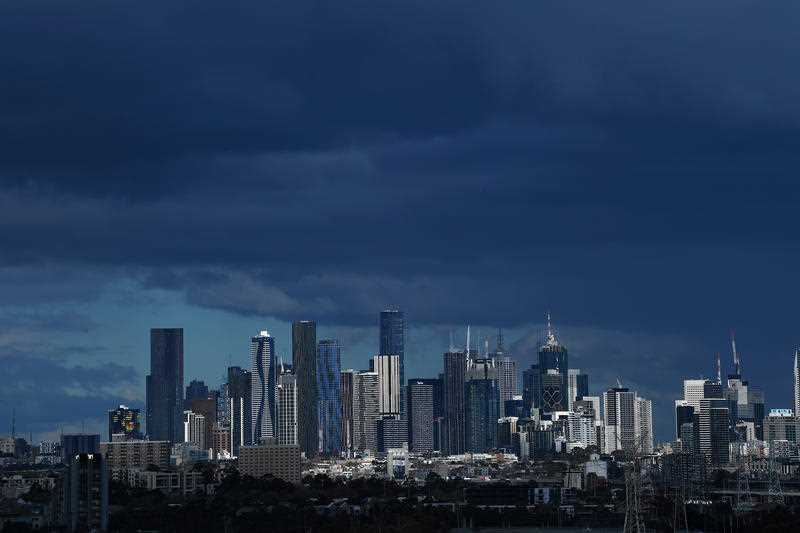
Coldest spring days in more than a decade on the way

Southeast Australia could be in for its coldest period of spring in more than a decade with low-lying snow, wind, rain and hail due in the coming days.
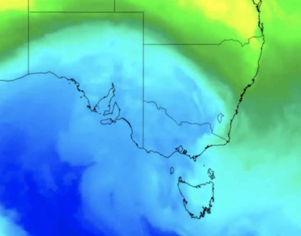
Weatherzone meteorologist Ben Domensino told Yahoo News Australia a “cold blast” coming from a “procession of fronts” will bring a “very cold” air mass from Antarctica towards Australia with temperatures dropping as the week goes on.
“Thursday through to Saturday is when we’ll see the strongest one,” he said.
“It’s particularly strong for this time of the year.”
On Tuesday, Australia experienced the spring equinox which meant a further transition from winter to the spring season. Daylight is now about equal to night-time.
But Mr Domensino said the “cold blast” will bring some chilly conditions.
“We’ll see notably low temperatures,” he said.
“In Melbourne, Friday could see a maximum of 12 degrees in the daytime which could be the coldest day this late in spring for 20 years.
“Adelaide could reach a maximum of 13 which would be the coldest since 1997.”

Melbourne could also receive up to 20mm of rain on Friday, according to the Bureau of Meteorology, while Adelaide could get 8mm.
On Thursday, Adelaide’s forecast for up to 15mm of rainfall.
Aussie town lashed with a month's worth of rain in just 15 minutes
Huge mass triggers weather radar – but it's not what it seems
Temperature’s won’t improve much either into the weekend with Adelaide set for tops of 15 and 18 on Saturday and Sunday respectively - while Melbourne will see maximums of 13 and 14 as the rain eases.
Mr Domensino said cold fronts like the one about to pass through are normally seen closer to winter.
“It’s rare to see it this late in the year,” he said.

Snow for the alps
Some areas including Tasmania, southern and central NSW, the ACT, and Victoria could see snow at about 700-800 metres above sea level at times between Friday into Saturday.
The mainland alps could see an extra 20-40cm of snow too.
Mr Domensino said NSW will be largely unaffected by the system though.
“It won’t be quite as cold in NSW with temperatures reaching a maximum of about 18-19 degrees,” he said.
Tomorrow marks the spring equinox ☀️ !
The word 'equinox' comes from Latin and means 'equal night', referring to the roughly 12-hour day and 12-hour night. They occur twice a year—around late March and late September.
Learn more: https://t.co/Ei9Y0h9c0y pic.twitter.com/qm1BnLh40u— Bureau of Meteorology, Australia (@BOM_au) September 21, 2020
Saturday and Sunday will see Sydney reach tops of 20 and 18 respectively after a top of 25 on Thursday.
“That’s not too unusual for this time of the year with the average normally about 20 degrees.”
While the chilly temperatures and rain might be of relief to some people, Mr Domensino warned the weather could turn wild.
“It’s an interesting system but it also could be a dangerous weather event,” he said.
“We could see damaging winds, thunderstorms and hail so check for warnings in your area.”
Do you have a story tip? Email: newsroomau@yahoonews.com.
You can also follow us on Facebook, Instagram and Twitter and download the Yahoo News app from the App Store or Google Play.

