
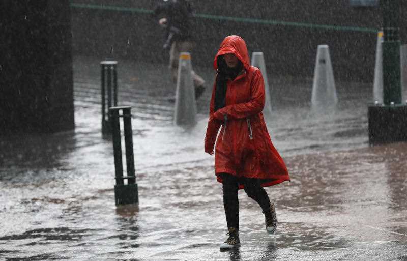
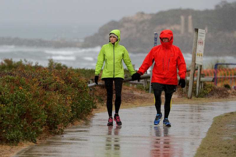
Australia set to shiver through 'polar plunge' this weekend

If you’ve completely packed away your winter clothes you might need to rethink your wardrobe with Australia’s southeast in for a “polar plunge”.
The Bureau of Meteorology on Thursday said a “complex low” will bring wet, windy and cold weather to southeast South Australia, Victoria, Tasmania and NSW from late Thursday through Sunday.
Temperatures “are likely” to be 4-10 degrees below average, the bureau said.
Weatherzone meteorologist Ben Domensino told Yahoo News Australia on Wednesday a “procession of fronts” could bring Adelaide and Melbourne’s coldest maximum temperatures for this late in spring, for the first time in more than a decade.
Sydney weather forecast
Sydney’s temperatures will be about two degrees below average for this time in September.
Mr Domensino said NSW will largely be unaffected by the cold conditions though with temperatures not too unusual for this time of the year.

Friday afternoon and or evening could be wet too with up to 2mm of rain forecast.
The bureau has also issued a weather warning for damaging winds with gusts of up to 120km/h from Thursday night through to Friday morning for alpine areas in the state’s southwest in Perisher Valley, Charlotte Pass and Thredbo.
Friday: 11-24, shower or two, windy, 0-2mm
Saturday: 8-20, mostly sunny
Sunday: 9-19, mostly sunny
Canberra weather forecast
Cloudy conditions await residents in Canberra across the weekend following a Friday of showers.
Residents can expect 5-15mm on Friday with the chance of a late thunderstorm in the afternoon and or evening.
Aussie town lashed with a month's worth of rain in just 15 minutes
Huge mass triggers weather radar – but it's not what it seems
Saturday will remain overcast before it clears on Sunday.
Mount Ginini, southwest of Canberra, is forecast to receive snow on Friday, Saturday and Sunday. That follows snowfall on Thursday too.
Temperatures in the area could plummet to as low as -4 on Sunday.
Friday: 2-11, showers, 5-15mm
Saturday: 1-12, cloudy
Sunday: 0-15, partly cloudy
Melbourne weather forecast
Friday in Melbourne could be the city’s coldest day this late into spring in possibly 20 years with a high of just 12.
Unfortunately, for those who don’t like the rain, showers are forecast across the weekend with 8-20mm on Friday the heaviest rainfall.
The showers will ease on Saturday and Sunday though.
Friday: 8-12, showers, 8-20mm
Saturday: 7-13, showers easing, 2-5mm
Sunday: 7-14, shower or two, 0-1mm
Adelaide weather forecast
Adelaide could have its coldest day in this part of spring since 1997 on Friday with a top of 13.
Showers are forecast on Friday with the chance of late thunderstorms and the possibility of hail.
Get ready for a polar plunge SE Australia! ❄️A complex low will bring wet, windy & cold weather to southeast #SA #Vic #Tas & #NSW from late Thursday through Sunday.
Temps are likely to be 4-10 °C below average, with snow in elevated areas. Forecasts: https://t.co/qXFauh14hL pic.twitter.com/DvGRRkDFfS— Bureau of Meteorology, Australia (@BOM_au) September 23, 2020
The conditions will ease on Saturday and Sunday though as the temperature slightly rises.
Friday: 7-13, showers, 2-8mm
Saturday: 8-15, cloudy, 0-0.4mm
Sunday: 7-18, partly cloudy
Brisbane weather forecast
Queenslanders can once again brag about their weather with conditions mostly sunny across the weekend in Brisbane.
Friday could reach a toasty 30 before it slightly cools to the mid-20s across the weekend.
Expect similar conditions across the coast.
Friday: 14-30, mostly sunny
Saturday: 15-26, sunny
Sunday: 11-25, sunny
Tasmania weather forecast
Hobart is in for rainfall bringing possible hail on Saturday morning with temperatures hitting a top of 13.
That rain will ease Sunday with some showers forecast for the city’s south.
Launceston has the chance for thunderstorms in the afternoon and or evening on Friday before the rain clears on Saturday.
Friday: 5-12, showers, 2-8mm
Saturday: 6-13, shower or two, 2-3mm
Sunday: 4-14, cloudy
Perth weather forecast
Friday morning in Perth could be a stormy one with thunderstorms possible with some showers.
Light rain is forecast across Saturday and Sunday with temperatures hitting the top 20s.
Friday: 13-24, possible early storm, shower or two, 0-2mm
Saturday: 12-21, showers, 3-6mm
Sunday: 11-21, shower or two, 0-1mm
Darwin weather forecast
Storms could hit Darwin on Friday, Saturday and Sunday with some rain.
Conditions should remain clear, if not partly cloudy, in Alice Springs across the weekend though with slightly cooler temperatures topping about 27.
Friday: 25-33, shower or two, possible storm, 1-8mm
Saturday: 25-33, shower or two, possible storm, 1-5mm
Sunday: 24-34, possible shower or storm, 0-1mm
Do you have a story tip? Email: newsroomau@yahoonews.com.
You can also follow us on Facebook, Instagram and Twitter and download the Yahoo News app from the App Store or Google Play.

